Releasing lonboard 0.17!
This blog post was fully human written.
Lonboard is a Python library for fast, interactive geospatial data visualization in Jupyter.
Lonboard version 0.17 has a ton of small improvements and bug fixes.
This blog post was fully human written.
Lonboard is a Python library for fast, interactive geospatial data visualization in Jupyter.
Lonboard version 0.17 has a ton of small improvements and bug fixes.
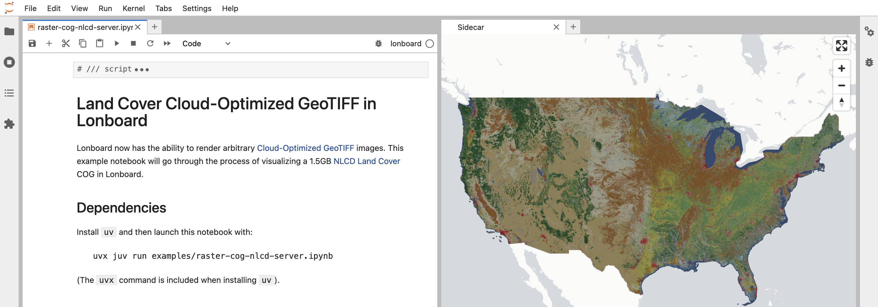
We've added support for rendering Cloud-Optimized GeoTIFFs (COGs) in Lonboard.
It works out of the box with the vast majority of COG data in the wild. COG tiles are streamed on demand as required, letting you visualize massive multi-gigabyte files on the fly.
You have full customizability of how image data is displayed. No need to set up a separate tile server. No need to download full images. No dependency on GDAL.
Lonboard enables fast, interactive geospatial data visualization in Jupyter.
This post gives an overview of what's new in Lonboard version 0.15.
Lonboard is a Python library for fast, interactive geospatial data visualization in Jupyter.
This post gives an overview of what's new in Lonboard version 0.14.
Lonboard is a Python library for fast, interactive geospatial data visualization in Jupyter.
This post gives an overview of what's new in Lonboard version 0.13.