


Our team is excited to connect with the geospatial community at FOSS4G North America in Baltimore. We're looking forward to sharing some things we've been working on and all the lessons we've learned along the way. We want to share our knowledge with YOU. And hopefully make your life easier.
If you're interested in learning about eoAPI, a cloud-native backend for setting up an open, modern geospatial data infrastructure, getting started on building a STAC API in a workshop, or getting a better understanding of cloud-optimized data formats, or hearing about GeoParquet and GeoArrow, we can't wait to talk to you!
You're also invited to a cloud-native social hour on Monday from 4:00 PM - 6:00 PM, that we're hosting with our friends at the Cloud Native Geospatial Foundation. Let's kick the conference off with some great conversation and connect with each other. RSVP details.

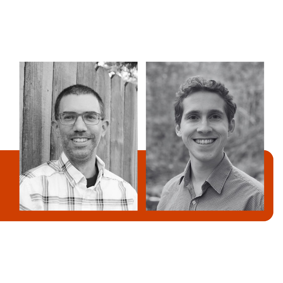
David Bitner
Building a STAC Catalog and API with PgSTAC
David Bitner is kicking things off with a workshop on Monday that will go through building a STAC Catalog and API using PgSTAC and exposing it through Stac FastAPI. It will include details on configuring, scaling, and monitoring PgSTAC to meet large enterprise needs. Monday, October 23rd, 9:00 AM. Pre-registration required.
Serving OGC API Features/Tiles from Postgres with TiPG
On Wednesday, Bitner is back to talk about serving OGC API Features/Tiles from Postgres with TiPg. OGC API is the next generation of OGC standards for delivering spatial data on the web. This presentation will demonstrate the features of TiPG and how you can use it to serve OGC API Features and Vector Tiles from a Postgres/PostGIS database with minimal to no configuration. It will also talk about how to leverage FastAPI to extend TiPG or integrate TiPG as part of a larger API framework. Wednesday, October 25th, 11:30 AM.

Alex Mandel & Isayah Vidito
Lvl. Up; Cloud-Optimized Data for Science, Seeing, and Sharing
Cloud-optimized data allows you to read only the parts of files that you need, not the whole file, often remotely. There are now lots of data formats for enabling cloud-optimized data access (e.g. COG, COPC, Zarr, GeoParquet, etc..), That means choices, decisions, and lots of little details you might not have thought about.
Join engineers Alex Mandel and Isayah Vidito for their talk on Tuesday, October 24th, 10:30 AM and level up your cloud-optimized game with insights into good cataloging methods and client tools to make data useful to end users. Learn how to decide on formats, make optimizations, and connect the dots with cloud deployments of batch processing Stactools pipelines, STAC catalog with FastAPI and PgSTAC, finishing with end user access through clients (e.g. pystac and xarray), and dynamic visualization with Titiler, TiPg and other tools.
Kyle Barron
GeoParquet and GeoArrow in the Browser with deck.gl
GeoParquet is an exciting new geospatial file format that promises to be faster and more efficient for large amounts of data. Its specification defines how to store geometries inside standard Apache Parquet data files, and is being developed in the open on GitHub opengeospatial/geoparquet with a wide variety of contributors. Several tools have adopted support for GeoParquet, including GDAL.
GeoArrow is a related specification under development for how to store an array of geometries in memory using Apache Arrow's columnar memory.
Kyle will share how to load (Geo)Parquet files in the browser using parquet-wasm, how to handle the parsed output using the Arrow JavaScript bindings, and how to efficiently pass this data to deck.gl for GPU-based visualization. Tuesday, October 24th, 2:30 PM

Sean Harkins
eoAPI - the Earth Observation API
We've been building and maintaining many of the open source libraries used in STAC metadata and tiling applications for some time. Open source projects we work on include stac-fastapi, the pgSTAC backend, TiTiler and TiTiler-pgSTAC. We've employed these libraries in custom applications with our partners at NASA, AWS, Microsoft and others. But it remained difficult for individual developers or small teams to build Infrastructure As Code (IAC) with best practices to easily deploy these libraries together in a ready to use application.
To share what we've learned with the wider community we've created eoAPI. An easy to deploy, fully functional suite of APIs that allows users to ingest STAC items, search STAC metadata and render multiple images dynamically as tiles using our mosaic technology. The infrastructure can be deployed to a variety of cloud providers and uses sensible default configurations that we've learned to simplify scaling and maintenance.
If you want to easily deploy an application using state of the art open source metadata management and dynamic tiling technology, eoAPI can help.

See you there
Like all things open source, FOSS4G North America wouldn't be possible without the support of dedicated volunteers and a community that is passionate about building and contributing to great software. Thanks to everyone who has helped make this year's event possible and to all the other speakers and attendees. We're grateful to learn, grow and share alongside all of you.
We look forward to catching up and connecting with folks throughout the week.
What we're doing.
Latest