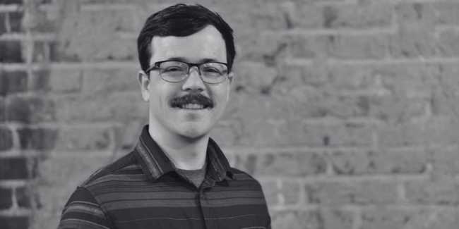
Ryan is a Machine Learning Engineer at Development Seed. He develops machine learning models to detect land-use and land cover change in medium and high resolution satellite imagery. He is passionate about helping organizations make sound decisions that improve environmental outcomes and livelihoods. Ryan frequently writes and speaks on topics related to machine learning and GeoAI. He also teaches ML and programming workshops and is a maintainer for The Carpentries geospatial python lessons.
Previously, Ryan was a graduate student in the Water, Vegetation, and Society Lab (WAVES). While there, he created CropMask_RCNN, a project to train state of the art models to predict crop circle boundaries in drylands. Ryan previously worked with the Mapping Africa project, where he worked on mapping smallholder farms in Ghana using PlanetScope imagery to improve agricultural land use planning and food security in the region.
When he's not coding or teaching coding workshops, he enjoys climbing boulders in the Bay Area, learning strategy games, and practicing jiu-jitsu. Ryan received a Masters in Geography from UC Santa Barbara.