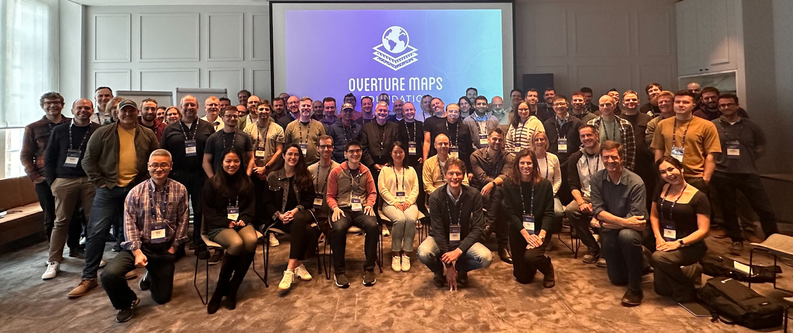
We recently attended the inaugural Overture Maps Foundation (Overture) summit in Ghent, Belgium. It was an excellent opportunity to catch up on the vision, meet other contributors, listen to data users, and reflect on Overture’s upcoming challenges and future ahead.
Overture’s mission is “to build reliable, easy-to-use, and interoperable open map data.” Building global map data products is a monumental task—our planet is vast and complex, containing an ever-changing, unknown number of features to identify and map. Objects, like a restaurant building, must be mapped, and other non-visible attributes, such as hours of operation or vegan-friendly menu items, need to be integrated.
Overture has tremendous advantages and existing resources to tap into: data and pipelines from Overture members, open-source tools, and direct feedback on map quality from its audience. For instance, Meta has amassed an impressive database of places and points of interest that are integrated into Overture data products. Microsoft has created a global open database of buildings combined with similar datasets from Esri and Google to create a comprehensive global building layer.
Overture Summit Group Photo
Development Seed, OpenStreetMap and Overture
At Development Seed, we have always advocated open data initiatives that positively impact the world. For example, we have contributed to the OpenStreetMap (OSM) project through data, tools, and community leadership since its inception. GeoCompas, previously Development Seed’s data team, was one of OSM's first organized mapping teams, contributing vast amounts of data. We contributed to building tools like iD, OSMCha, and Tasking Manager, demonstrated what’s possible through ideas like Observe, and addressed pressing integration challenges through projects like OSM Teams. OpenStreetMap paved the way for organizations to better understand the world around us and make smarter decisions with accurate map data. OSM has proven its value as the living database of the world, and we remain committed to nurturing the project.
Overture seeks to build upon OSM's success; we view them as complementary projects that should thrive together in a world with growing challenges that require high-quality geospatial data. While OSM focuses on strengthening the community and growing contributions to a robust database of the Earth’s features, Overture will focus on data completeness, reliability, and interoperability. Overture is building on OSM’s best features by adding more open data sources and developing new tools and pipelines.
Development Seed has followed Overture since its launch in late 2022 and joined as a contributing member in 2023. Overture’s structure allows us to use our skills and partnerships to improve open map datasets; for example, map features derived from automated machine learning and human-in-the-loop approaches can be integrated into Overture and are readily available for OSM to incorporate. Our partners, like UNICEF and the World Bank, constantly seek ways to identify critical features from high-resolution imagery at a scale and speed that is hard for manual mapping efforts to meet.
Both of these projects can and should co-exist. We don’t view this as zero-sum but rather as an opportunity to elevate and improve multiple open data sources tailored to various applications and purposes. For much of our product work, we look to integrate map data into a more extensive application. While we rely on base maps from Mapbox or PMTiles, we usually need access to the underlying geospatial data for analysis. Overture’s adoption of cloud-native formats allows us to quickly integrate their data into existing data science workflows increasingly built on cloud-native standards. This aligns well with our ongoing tooling founded in cloud-native technologies for fast visualization and analysis, like Lonboard and eoAPI.
Both of these projects can and should co-exist.
Overture's Approach and Contribution to the Ecosystem
Overture is taking a modern approach to building its data products, using the latest technologies in tooling, accessibility, and formats. The Global Entity Reference System (GERS) is a new framework for structuring, encoding, and matching map data to a shared universal reference. GERS enables a system to solve the complex problem of integrating geospatial datasets, makes sharing and building applications easier, and allows stakeholder cooperation. GERS could serve as the foundation of the modern open map dataset.
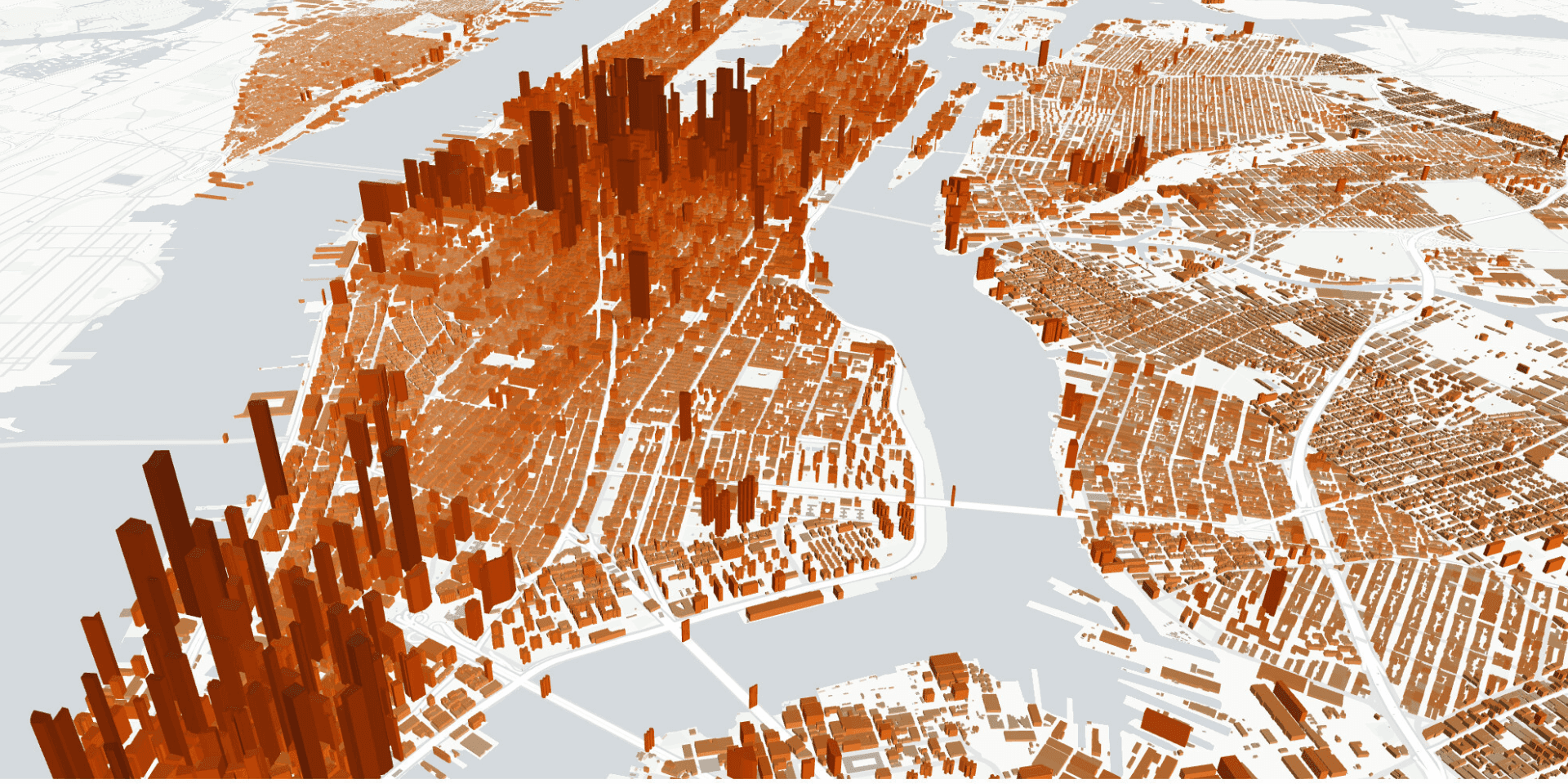
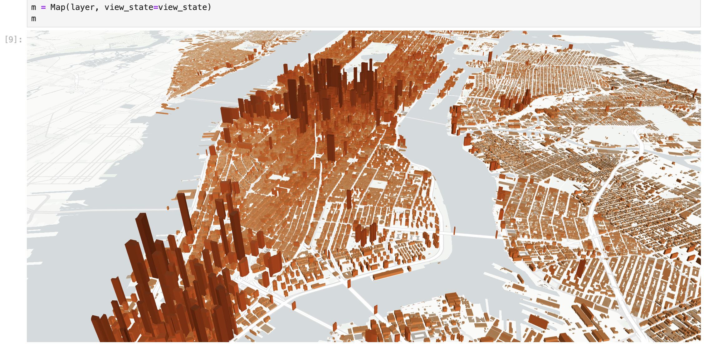
Overture has also adopted a cloud-native strategy: building, deploying, and managing applications in cloud computing environments. Overture uses GeoParquet as the default cloud-native format, allowing scalability, speed, and developer adoption. This approach is trending in geospatial because large-scale data requires a new ecosystem of data publishing tools and cloud accessibility. With this approach, anyone can quickly visualize Overture data using tools like Lonboard without downloading and processing the entire dataset.
Overture Buildings in Lonboard
OSM and the larger open geospatial community can benefit immensely from Overture’s mission to produce validated geospatial data and base maps. The Overture members will determine data priorities based on their organizations’ respective product roadmaps, and OSM will continue to be a vital community and database. With community as the bridge, OSM can take advantage of the data published by Overture, which otherwise is private, to validate and enrich the database. Initiatives like GERS and investment in cloud-native geospatial tools will push the community forward.
Adoption and Impact
Overture’s ultimate test will be the level of adoption. Now that Overture’s product has reached beta, we are eager to see how companies, governments, and nonprofits adopt and use the data to solve substantial global challenges. At Development Seed, we find ourselves in a unique position, working in a space that spans many open data projects, open-source tools, cloud-native solutions, and many organizations seeking to advance their missions. We are stoked to see Overture’s stance on open licensing and cloud-native products, and we look forward to participating and helping fulfill Overture’s mission. Interested in talking more about this? Drop us a line.
Initiatives like GERS and investment in cloud-native geospatial tools will push the community forward.
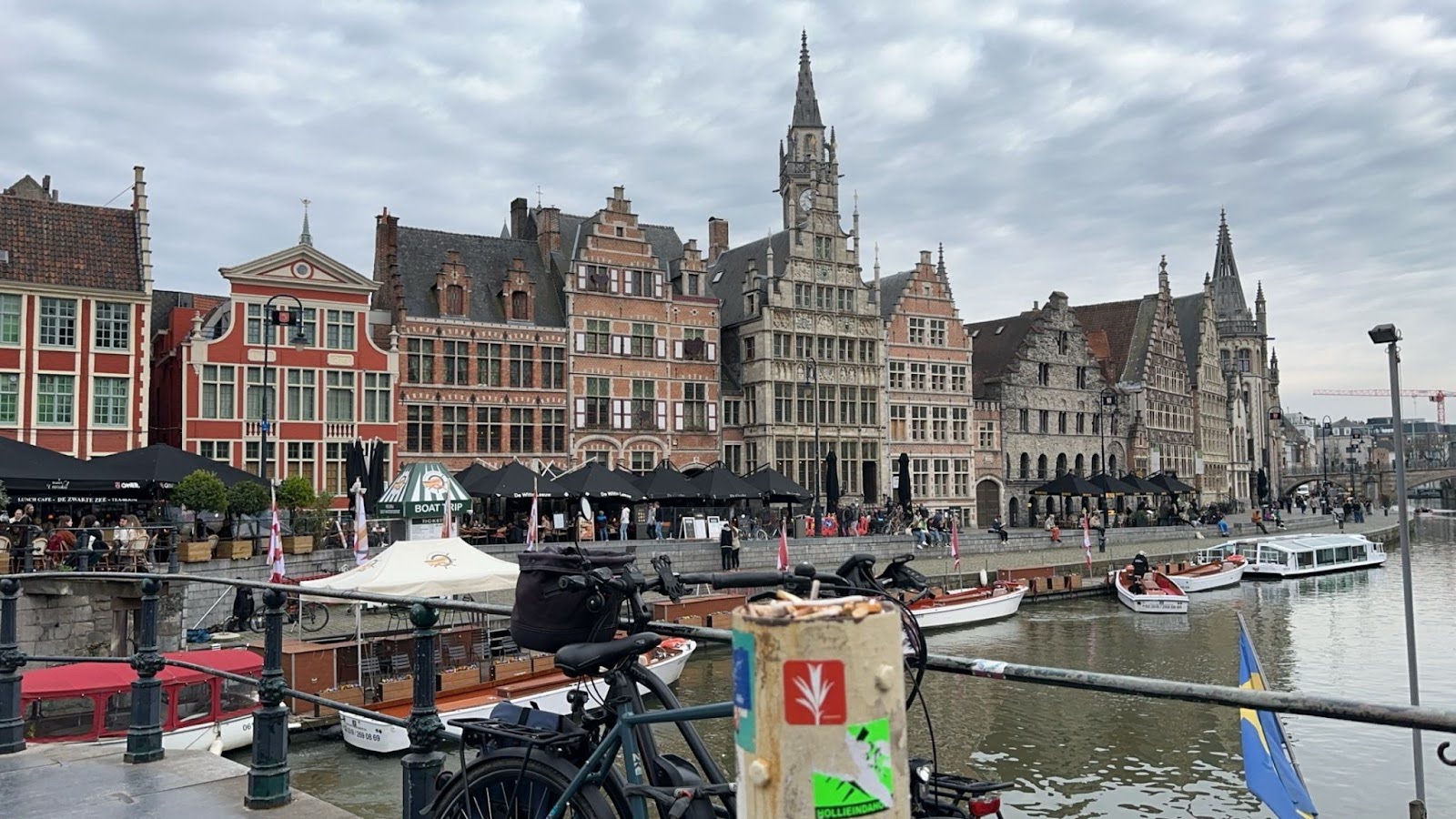
Ghent, Belgium the host city for Overture's summit.
What we're doing.
Latest


