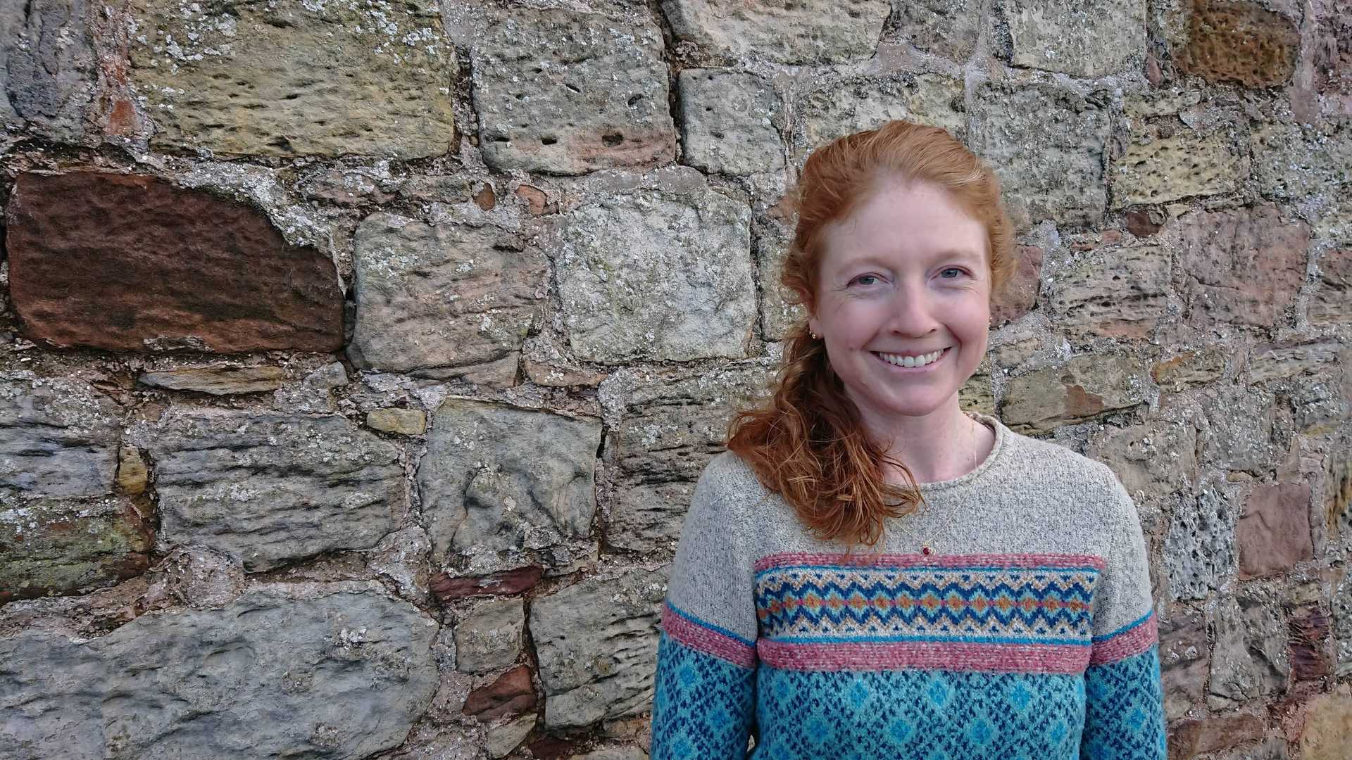
We’re delighted to welcome Kathryn as machine learning engineer! Kathryn is passionate about harnessing geospatial data to solve the challenges of global health and food security. She believes in making machine learning tools, data, and resources more accessible for social good through open data and open science.
Kathryn will work with the NASA IMPACT team to implement a scalable processing pipeline for machine learning and a portal to search for indexed model results. She’ll also help create an easy-to-use user interface to an open-source crop yield model, Aquacrop, and further enable it to be applied to large geospatial datasets.
Kathryn joins us from Agrimetrics, where she led their data science team, providing models and advanced analytics to businesses, researchers, and policymakers to address global food challenges. She worked on the development of an in-season agricultural crop classification product for large geographic areas, using synthetic aperture radar (SAR) satellite data.
Kathryn’s interest in use of satellite imagery for ecological monitoring was sparked at a young age when she participated in her school’s Forest Watch program in her home state of New Hampshire. She is an avid skier and outdoor enthusiast, enjoying hiking and exploring the Scottish outdoors. Kathryn is a keen supporter and advocate for Women in Geospatial.
Kathryn holds a BSc in Microbiology from the University of Massachusetts-Amherst, a MSc in Natural Resources from the University of New Hampshire, and a PhD in Environmental Science from the University of Rhode Island - where she worked on the development of Lyme disease risk models based on microclimatic indices.
Say hi 👋 to Kathryn on Twitter and welcome her to the team!

Kathryn hiking in the Pentland Hills Regional Park.
What we're doing.
Latest
