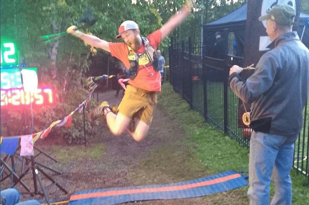
I am beyond excited to welcome David Bitner, aka Bitnerd, to the team! David brings over 20 years of experience developing and advocating for open source geospatial software and data, and, added bonus, his Minnesota nice!
David is working on building the backend system for our partner OpenAQ to scale their platform by bringing on measurements from increasingly available low cost sensors. He’s also working to make it easier for people to find data derived from aerial platforms advance the ability for scientists to search for and find airborne data.
Before joining DevSeed, David mapped the water content of snow across the U.S. for the National Weather Service and monitored aviation noise and its impacts around MSP International Airport. His work has spanned several sectors, including government, non-profit, and commercial sectors of the geospatial industry. Working in these fields he encountered several limitations of existing proprietary software, which led him to working with open source software and enabling him to more easily and quickly develop solutions that simply would not have been possible otherwise.
David is based in the Great North Country of Minnesota (my favorite state) where he spends as much time outdoors in the woods on long trail runs, coaching others on how to run ridiculously long distances (ultra marathons), and playing with his dog Milo.

Join me in welcoming him by saying hey on Twitter or GitHub!
What we're doing.
Latest
