Vincent Sarago is changing the face of satellite data exploration
It’s not every day that you get to hire one of your idols to work alongside you. Today, it’s our enormous pleasure to welcome Vincent Sarago to Development Seed.
Vincent Sarago is a world class geospatial developer who has done more than anyone I know to make satellite data accessible and useful. Vincent built the website RemotePixel.ca, which provides a range of smart and useful tools for accessing open satellite archives like Landsat and Sentinel. He’s done this by rebuilding satellite infrastructure and interfaces from the ground up, highly leveraging data on the cloud and open source tools. Vincent also spent two years with our good friends on the Mapbox Satellite Team.
Vincent is going to help our work with NASA, USGS, ESA, and others to analyze and interrogate huge satellite data archive right in their browser, putting the power of Earth data into the hands of millions of everyday users. He has extensive experience building infrastructure and web interfaces to process and visualize geospatial data, and will allow us to do this faster and more efficiently as a team. Vincent is already jumping into some work on dynamic tiling and cloud optimized GeoTIFF tools (COGs).
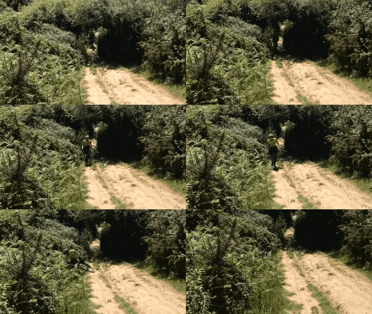
If Vincent isn’t geeking out on building homemade security systems, he’s falling off his bicycle somewhere in Montréal.
 This is, in fact, Vincent.
If you want to welcome Vincent and say hi 👋 he’s on Twitter @*VincentS*
What we're doing.
Latest
