We are working with the Humanitarian OpenStreetMap Team (HOT) to get the best satellite and drone imagery immediately into the hands of disaster responders. Partnering with HOT, we are building an imagery coordination pipeline. In the event of a disaster, this workflow will track the most pressing needs on the ground, and connect with satellite companies to task their satellites and drone operators to prioritize flights where they are most useful. We also built upload tools to OpenAerialMap so that drone operators can quickly distribute their images.
Coordinating Imagery Needs
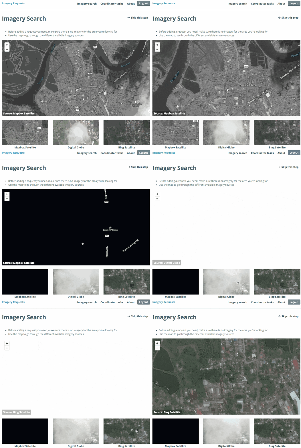
We’re working together with HOT to better plan and coordinate imagery needs in times of response. Through HOT’s Imagery Coordination Working Group, we’re testing ideas and workflows to make it easier for disaster responders to flip through available pre- and post-disaster imagery and, when nothing meets their need, coordinate imagery acquisition with the wider community and imagery providers. The tool will be open in order to make it easier for local drone operators and GIS units to participate in defining needs and sharing data. Below is a sneak peak of comparing imagery within the tool.
HOT will share more at SatSummit on the ongoing conversations to improve coordination among imagery providers.
 Humanitarian responders, satellite companies, and drone operators can search for imagery to meet their needs
Drone Data
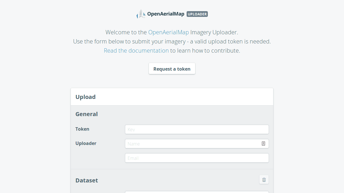
Local drone operators can share their imagery through a simple user interface. OpenAerialMap’s upload tool is integrated directly with Dropbox and Google Drive. Often the drone operators nearest to a disaster area aren’t experts in processing imagery for sharing on the web. The upload tool makes it quick and easy to share some of the first surveys of a disaster.

This is a very important part of the OAM ecosystem as it enables more people and organizations to submit imagery to the ever-growing catalog of OAM. It allows any surveyor to quickly share fresh imagery with the world under the CC-BY 4.0 making it available to whomever needs to use it. It’s now easier than ever to share new images and help with disaster preparedness.
What we're doing.
Latest