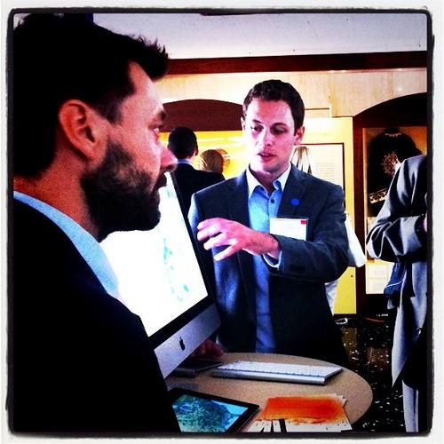
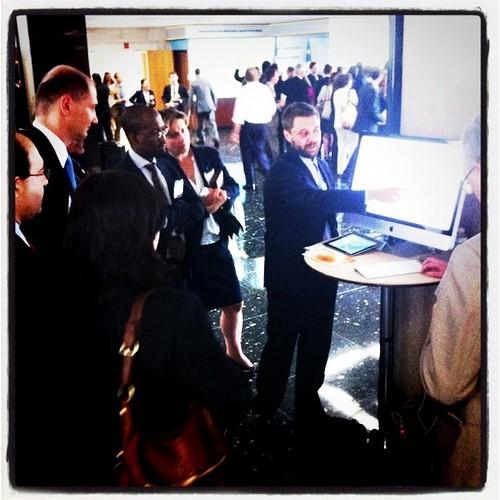
Yesterday’s Open Government Partnership meeting at the U.S. Department of State brought government officials, civil society organizations, and implementers together to discuss their efforts working to make governments around the world more transparent and participatory. Eric, Dave, and I attended the meeting to participate in Innovation Alley, an exhibit showing technology and methodologies that can be used to improve open government, and to discuss strategies for releasing and using open data, which is a focal point of the State Department’s initiative.
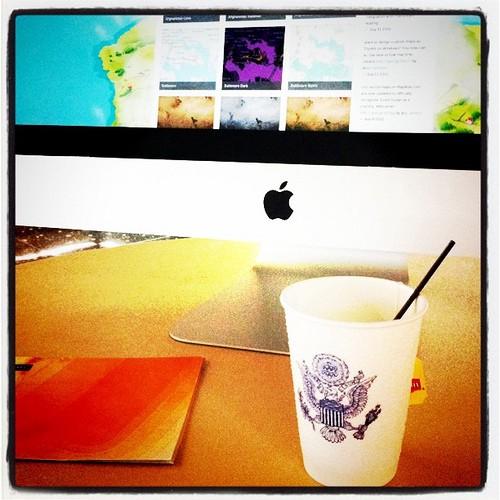
We also showed how maps and data visualizations built using open source mapping tools from MapBox make it possible to reveal patterns and tell stories with open data.

We had fun showing off what is possible with open data and open source mapping tools, such as how we mapped a natural disaster — the Japan earthquake — using open U.S. government data, the community served by a local NGO using their operational data and open data from the DC government, and just how quickly millions of Census tracts run on our maps. Even with unruly data sets, slow internet connections, and tight budgets, MapBox tools make it possible to build beautiful, fast maps.


What we're doing.
Latest