
New Documentation on Color, Geocoding, QGIS, and GDAL Released for MapBox
- Estimated
- 1 min read
We’re expanding our documentation to help TileMill and TileStream users get the most out of their MapBox maps. Five new articles have just been posted on support.mapbox.com covering a range of topics.
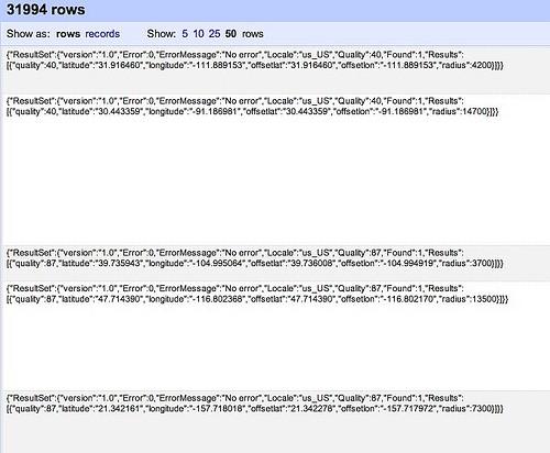
The first reviews websites and programs available for choosing colors and schemes, providing a convenient directory of tools to help you design maps. The second discusses the pros and cons of the most common geocoding services. Using these correctly, you can turn addresses and other geographic information into specific latitudes and longitudes, which is essential for mapping overlays.
An article on terrain visualization introduces some command-line programs from the GDAL library to facilitate working with digital elevation models. The article walks though how to create and combine different types of terrain visualizations that can be imported as geotiff layers into TileMill projects.
The final two articles offer step-by-step instructions for using two powerful features of QuantumGIS: 1) converting a geocoded spreadsheet into a shapefile and 2) merging a shapefile with another spreadsheet. Both assume no previous knowledge of QGIS and are essential for anyone interested in creating a spatial representation from data contained in a spreadsheet.
If you have any questions about map design or anything else related to TileMill, please start a discussion on support.mapbox.com.
What we're doing.
Latest