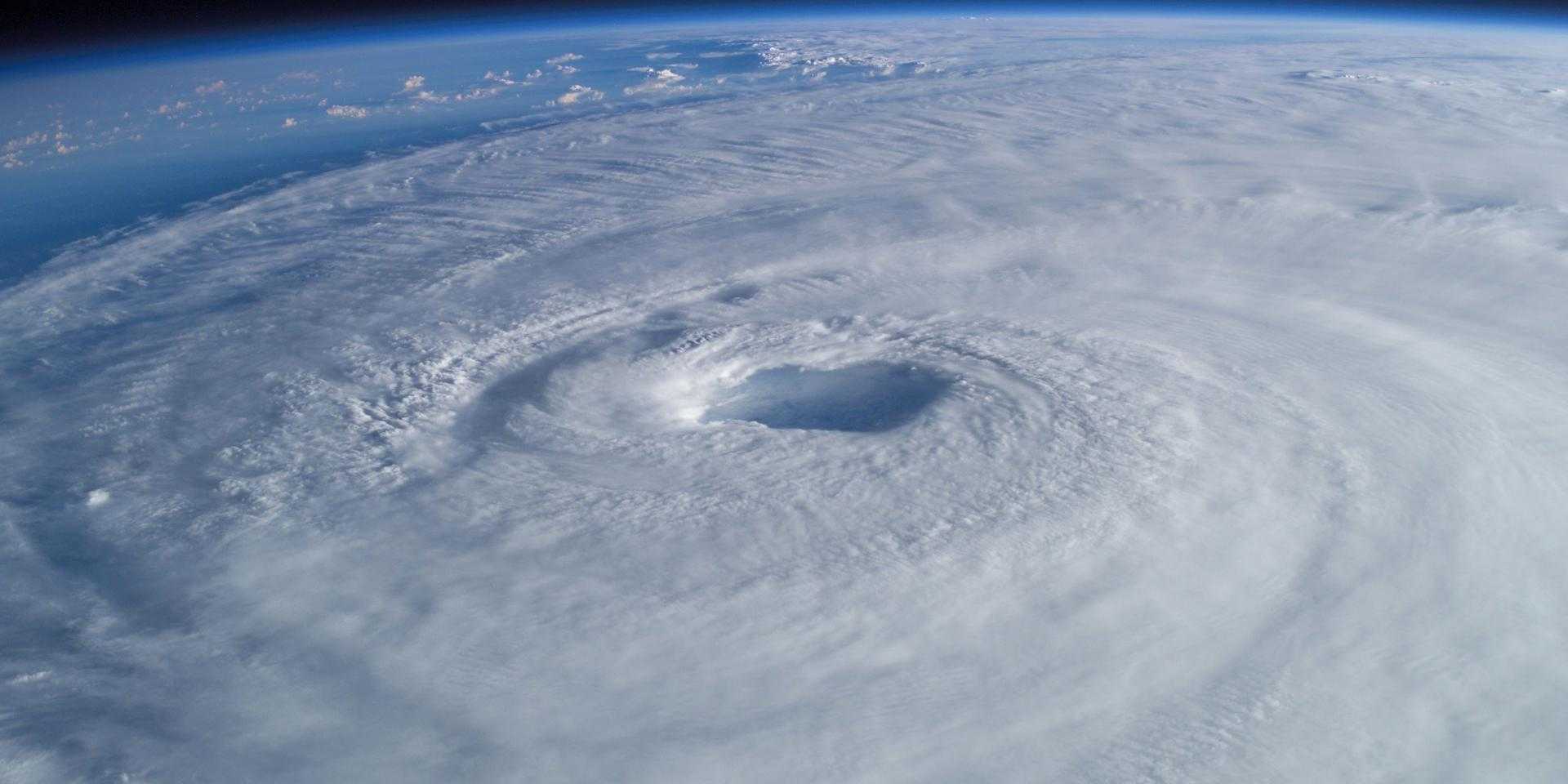
Development Seed partnered with the IMPACT team at NASA’s Marshall Space Flight Center to create the Deep Learning-based Hurricane Intensity Estimator. This platform uses advanced deep learning techniques to deliver live hurricane wind speed estimates as soon as the data comes off the satellite. This approach has the potential to remove the human bottleneck in hurricane estimation, drastically reducing the time to alert authorities to fast-changing severe weather.
Faster Hurricane Estimates
The primary factor for estimating a hurricane’s destructive potential is wind speed. By creating faster, more reliable estimates of storm wind speeds, authorities may be able to make better decisions about moving people out of harm’s way and moving resources where they’re needed. These decisions can help save both life and property. The issue is growing in urgency: the 2017 hurricane season was the most destructive on record, claiming thousands of lives and causing an estimated $280 billion in damage.
Currently, estimates of cyclone intensity rely upon human application of the Dvorak technique. Meteorologists match satellite imagery of a storm to known patterns. Once matched, it’s possible to estimate wind speed. AI experts at NASA’s Marshall Spaceflight Center and Development Seed trained neural networks using historical hurricane imagery and classifications, allowing this workflow to be fully automated.
Working with NASA, we developed a cloud-based approach to apply advanced deep learning techniques at speed and scale. Our approach calculates hurricane strength and wind speed by monitoring live imagery as it’s delivered from weather satellites. This allows NASA to create estimates as fast as the data is delivered, up to every 30 seconds, a significant speedup from the usual six-hour cycle. While we test and refine the model, the system is producing hurricane estimates every hour.

Fast, Continuous Predictions on the Cloud
NASA Scientists continuously refine and improve and improve the model using new data and techniques. They need an easy way to test and publish new models and to rerun new models on historic imagery. Cumulus, was built precisely for this sort of orchestration of earth observation workflows. We use Cumulus to manage our imagery acquisition and storage; track the code for various versions of the prediction algorithm; rerun new models on prior data; and to create an audit trail of what code was used to produce which results. This system provides NASA scientist a highly scaleable, reliable, and flexible system that allows them to focus on doing great science.
Data for action
Through the 2018 and 2019 hurricane season we are testing and refining the model to assess its accuracy and utility. As the model improves, we anticipate it may provide one vital input for human and automated decision systems. We designed the system for all these users in mind.
For decision-makers, we built a highly usable data explorer using Mapbox. This tool shows the latest model predictions and allows point-by-point comparison with imagery and data from other sources. All of our results are provided as an API that allow this data to be integrated into other platforms, from weather apps to alerting systems.
Beyond Hurricanes
We are currently working with NASA to expand this approach to a wide range of other weather phenomenon.
While hurricanes demand significant attention, other weather phenomenon are visible from space and can have significant impacts. Many of these have far fewer resources devoted to tracking them than hurricanes. Supercells can produce devastating tornadoes. Atmospheric Rivers produce prolonged heavy rainfall and can cause significant flash flooding. Other weather patterns can affect the amount of solar radiation that crew and passengers are exposed to during polar flights. Tracking these are important to maintain safety in the airline industry. Anomalous fog patterns can be indicate of unexpected changes in soil moisture; anomalous ocean sediment can indicate increased glacial melt.

Resources
Have a challenging project that could use our help?
Let's connect
We'd love to hear from you.
