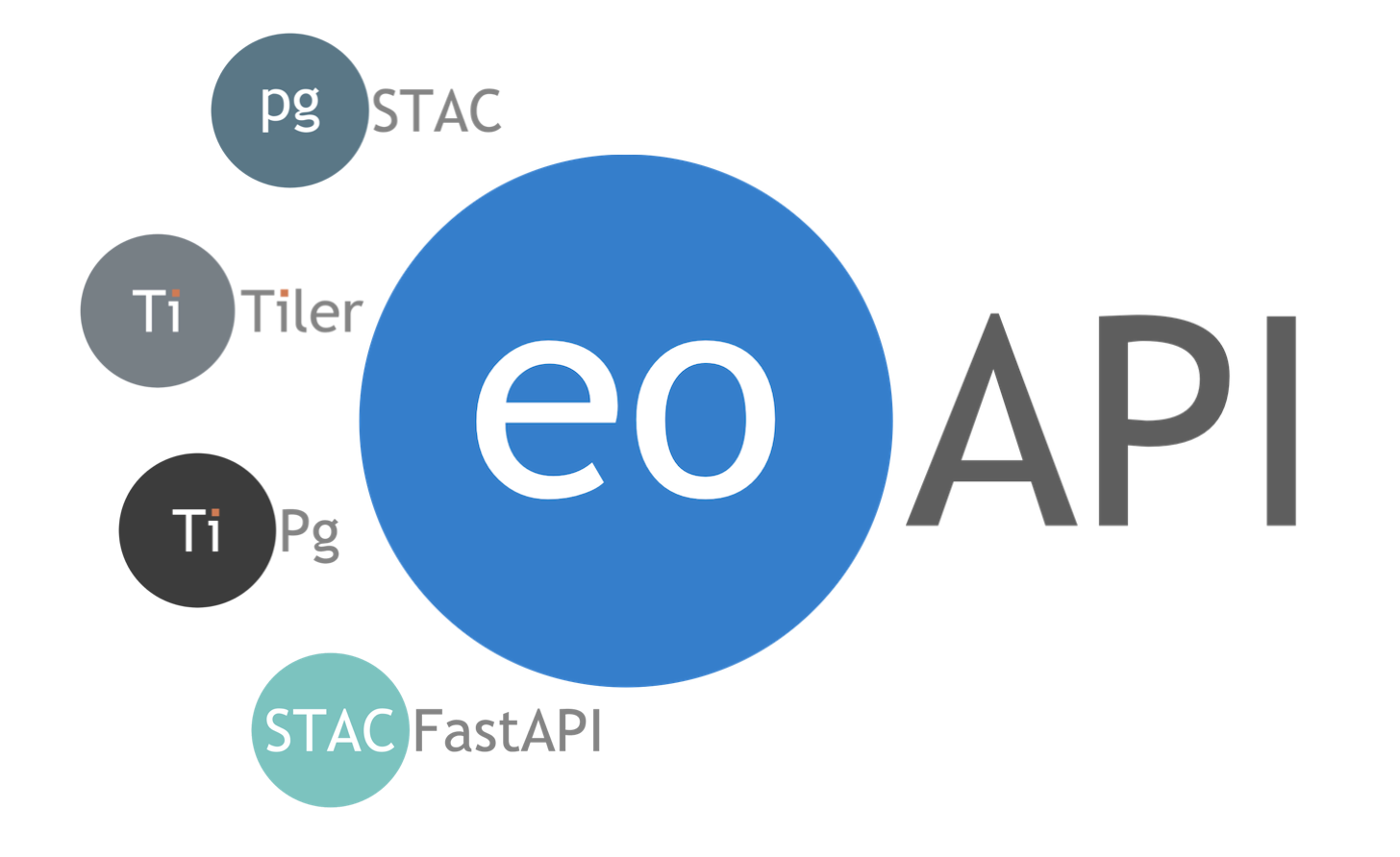
Welcome to the eoAPI Workshop!
This interactive session will introduce you to eoAPI - a powerful cloud-native framework that simplifies access to Earth observation data. By the end of this workshop, you’ll understand how to use eoAPI to catalog, discover, visualize, and analyze geospatial data efficiently.
Workshop Objectives
Explore how eoAPI can fit into your geospatial workflows
Learn about STAC (SpatioTemporal Asset Catalog) and its role in Earth observation
Explore the key components of eoAPI and how they work together
Gain hands-on experience working with metadata, raster, and vector services
Workshop Infrastructure:
Project homepage: https://
github .com /developmentseed /eoapi -workshop For the workshop we have deployed an eoAPI stack to a cluster using eoapi-k8s
eoAPI API endpoints:
titiler-pgstac: https://
workshop -raster .eoapi .dev stac-fastapi-pgstac: https://
workshop -stac .eoapi .dev
Workshop participants will given access credentials for the
pgstacdatabase during the workshop so they can interact with the pgstac PostgreSQL database directly
binder notebook server (https://
binder .opensci .2i2c .cloud/): Operated and provisioned by 2i2c, funded by NASA

Interactive tutorial outline
1. Introduction

1.1 What is eoAPI?
eoAPI is an assemblage of state-of-the-art services that combine to enable data discovery, search, visualization, and access.
eoAPI presents an open-source and reusable framework for harnessing earth observation data. eoAPI takes the work out of constructing a cloud-native EO infrastructure through a set of sensible defaults that fit most EO and geospatial infrastructure needs. Built with modularity as a core principle, eoAPI can easily be customized to your needs.
Additional resources
eoAPI homepage: https://eoapi.dev
1.2 Why would you use eoAPI?
You want to make your data catalog easily searchable for internal and/or external users
You want to serve dynamic visualizations of collections in data catalog
You want to use the growing list of tools and frameworks that can consume STAC metadata
2. Cloud Fundamentals
2.1 The Cloud-Native Approach
Traditional geospatial workflows involve:
Downloading entire datasets
Processing them on local machines
Managing complex software installations
Dealing with interoperability challenges
Cloud-native geospatial changes this paradigm:
Data stays in place: Access only what you need, when you need it
Compute happens near the data: Minimize data movement, run analyses in the cloud (like this binder notebook server!)
Standards-based interfaces: Interoperate with existing tools
Scalable infrastructure: Automatically scale up compute resources when you need them, turn them off when you don’t
eoAPI’s components enable you to adopt cloud-native practices with relative ease. Tradiditional workflows are still possible with the eoAPI stack, though. For example, if your users still want to download files to their own disk they can use the STAC API to search for the items they need then use the download links for the assets in each item.
Additional resources
Cloud-Native Geospatial Forum: https://
cloudnativegeo .org/ Cloud-Optimized Geospatial Formats Guide: https://
guide .cloudnativegeo .org/
2.2 Infrastructure as Code
A key concept for reliable and reproducible cloud resource deployments is Infrastructure as Code (IaC), which:
Defines your infrastructure in code files rather than manual configuration in a web portal
Makes deployments reproducible and versioned
Enables easy scaling and updates
Enables review of proposed changes via code review
eoAPI provides IaC templates for AWS CDK and Kubernetes
3. STAC 101

3.1 What is STAC?
The SpatioTemporal Asset Catalog (STAC) specification is a common language for describing geospatial data:
Simple: Based on JSON, a widely-used data format
Extensible: Core specification with optional extensions
Self-describing: Contains both metadata and links to data
Hierarchical: Collections contain items which reference assets (the actual data files)
STAC helps solve a fundamental problem: making Earth observation data findable, accessible, interoperable, and reusable (FAIR principles).
Additional resources
STAC specification homepage: https://
stacspec .org STAC specification GitHub: https://
github .com /radiantearth /stac -spec STAC Index: https://
stacindex .org /catalogs
3.2 STAC Structure
STAC has a few key concepts:
Catalog: A container that organizes collections and items
Collection: A group of items sharing common metadata
Item: A single observation or dataset with specific spatial and temporal extent
Asset: The actual data file (e.g., GeoTIFF, NetCDF, etc.)
Here’s a simplified representation:
Catalog
├── Collection A
│   ├── Item 1
│   │   ├── Asset 1 (e.g., visual.tif)
│   │   ├── Asset 2 (e.g., metadata.xml)
│   │   └── Asset 3 (e.g., thumbnail.png)
│   └── Item 2
│       └── ...
└── Collection B
    └── ...
3.3 STAC Extensions
The STAC specification can be extended to support specific use cases:
Electro-Optical: For optical imagery
SAR: For synthetic aperture radar data
Projection: For specifying coordinate reference systems
Scientific: For scientific datasets
Datacube: For multidimensional data
And many more
Additional resources:
STAC Extensions homepage: https://
stac -extensions .github .io/
3.4 STAC API
While static STAC catalogs are useful, the real power comes from making them searchable via STAC API:
STAC API: RESTful API for searching STAC Items and Collections
Filtering: Search by time, location, properties, etc.
Pagination: Handle large result sets efficiently
Extensions: Additional capabilities like sorting, transactions, etc.
Additional resources
STAC API specification GitHub: https://
github .com /radiantearth /stac -api -spec
3.5 STAC Ecosystem
STAC has grown into a vibrant ecosystem:
Creation tools: stactools, pystac, rio-stac
API implementations: stac-fastapi, stac-fastapi-pgstac, stac-fastapi-elasticsearch
Clients: pystac-client, stac-browser, rstac, rustac
Visualization: titiler, stac-browser
Validation: stac-validator, pystac, stac-pydantic
Additional resources
STAC Index Ecosystem of tools: https://
stacindex .org /ecosystem
4. eoAPI Components
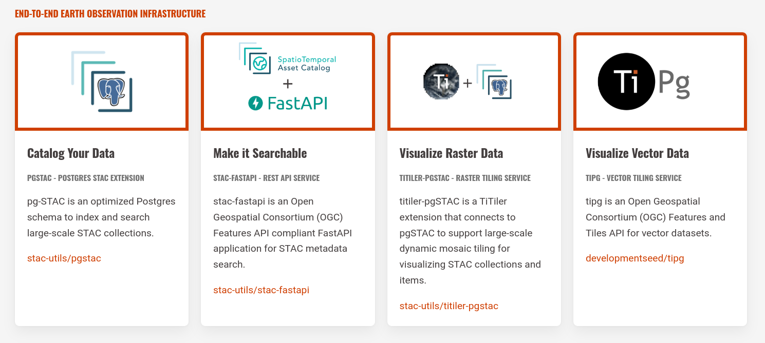
4.1 Database: pgSTAC

At the center of eoAPI is the pgSTAC database:
PostgreSQL extension for storing and querying STAC metadata
Optimized for performance with millions of items
Supports complex filtering with CQL2
Handles spatio-temporal queries efficiently
Advantages:
Builds on top of PostgreSQL
Designed for industrial-scale datasets (like Microsoft Planetary Computer)
Transaction support (add/update/delete)
Disadvantages:
Requires running a PostgreSQL database
Additional resources
pgstac homepage: https://
stac -utils .github .io /pgstac/ pgstac GitHub: https://
github .com /stac -utils /pgstac
4.2 STAC API: stac-fastapi-pgstac
To make the catalog searchable, eoAPI uses stac-fastapi-pgstac:
REST API following the STAC API specification
Built on FastAPI for modern Python performance
Connects to pgSTAC for efficient queries
Supports core STAC API endpoints:
/collections: List and filter collections/collections/{id}/items: Get items in a collection/search: Search across collections/queryables: Expose searchable properties
Additional resources
stac-fastapi-pgstac GitHub: https://
github .com /stac -utils /stac -fastapi -pgstac ?tab = readme -ov -file
3.3 Raster Service: titiler-pgstac
For visualizing and analyzing raster data, eoAPI includes titiler-pgstac:
Dynamic map tile server that connects directly to a
pgstacdatabase to identify relevant assets for rendering tiles for a mosaic of images from a STAC collectionPowered by titiler
On-the-fly processing of most file formats supported by GDAL
Supports filtering, band selection, color correction, expressions
Creates web-friendly tiles for use in mapping applications
Enables mosaics of multiple items based on STAC queries
Key capabilities:
Easily generate OGC API Tiles endpoints that any map client can use
Dynamic tiling: store your data once, visualize it how you want it when you want it
Single item rendering
Multi-item mosaics
Collection-wide mosaics!
Band math and indices (e.g., NDVI)
Color manipulation (stretch, colormap)
WMTS endpoints
Additional resources
titiler documentation: https://
developmentseed .org /titiler/ titiler-pgstac documentation: https://
stac -utils .github .io /titiler -pgstac /latest /intro/
4.4 Vector Service: tipg

For working with vector data stored in PostgreSQL, eoAPI uses tipg:
Connects to PostGIS tables and views
OGC API Features + OGC API Tiles implementation
FastAPI-based Python application
Vector tile generation
tipg is not the only tool for serving features/tiles from PostGIS, but it is written in Python with FastAPI which makes it a nice complement to the other eoAPI services.
Alternatives to tipg:
pg_tileserv: https://
github .com /CrunchyData /pg _tileserv
Additional resources
tipg documentation: https://
developmentseed .org /tipg/
5. eoAPI Deployment Options
eoAPI offers multiple deployment options to suit your needs:
5.1 Local Development with Docker
This workshop includes a Docker Compose setup for running a full eoAPI stack and JupyterHub locally. See the README for Docker installation and GitHub Container Registry authentication.
git clone https://github.com/developmentseed/eoapi-workshop.git
cd eoapi-workshop
docker compose up
This starts the following services:
pgstac (PostgreSQL): port 5439
STAC API (stac-auth-proxy): http://
localhost:8084 — primary entry point; reads are public, writes require authentication stac-fastapi-pgstac: http://
localhost:8081 — upstream API (debugging only) mock-oidc-server: http://
localhost:8085 titiler-pgstac: http://
localhost:8082 tipg: http://
localhost:8083 stac-browser: http://
localhost:8080 stac-manager: http://
localhost:8086 — web UI for authenticated STAC edits JupyterHub: http://
localhost:8888 — run these notebooks interactively
Open JupyterHub and work through the notebooks in /docs. Chapter 3 covers read-only STAC API access; chapter 6 exercises authenticated transactions.
The pgstac database is accessible via psql on port 5439:
psql postgresql://username:password@localhost:5439/postgis5.2 AWS Deployment with CDK
For production deployments on AWS, use eoapi-cdk:
Deploys a pgstac database to AWS’ Relational Database Service (RDS) with an EC2 instance running
pgbouncerfor connection poolingDeploys stac-fastapi-pgstac, titiler-pgstac, and tipg as serverless Lambda functions
Sets up API Gateway endpoints for the REST APIs
Handles permissions and networking between the services
Advantages
Lowest cost deployment option
Autoscaling: serverless functions that spin up when you need them, turn off when you aren’t using them
Most mature eoAPI deployment system available
Disadvantages
Locked into AWS
Serverless functions can take be slow to warm up from a cold start
5.3 Kubernetes Deployment
For container-based deployments, use eoapi-k8s:
Helm charts for Kubernetes
Deployable to any Kubernetes cluster
Suitable for on-premises or cloud deployments
Advantages
Cloud-agnostic: run anywhere you can run a Kubernetes cluster
Autoscaling: Kubernetes can handle autoscaling based on demand
Disadvantages
More expensive to run a Kubernetes cluster than just a PostgreSQL database and some serverless functions
Next: Interactive Exploration
next, you will get a chance to interact with the eoAPI services that have been set up for this workshop. You’ll learn how to:
Create STAC metadata
Load STAC metadata into a pgstac database
Search for data using the STAC API
Visualize raster data with dynamic tiling
Work with vector data in interactive maps
Now you are ready to get started with Creating STAC Metadata!