ESIP Winter Meeting
- Engineering & Engineering
Development Seed is “open by default.” We work with open-source technology to make the tools we build and use more broadly accessible.
We collaborate with organizations and communities eager to address some of the world's most challenging problems. Take a look at some of our repositories to get a sense of what we do. Want to make a contribution? Make a pull request!
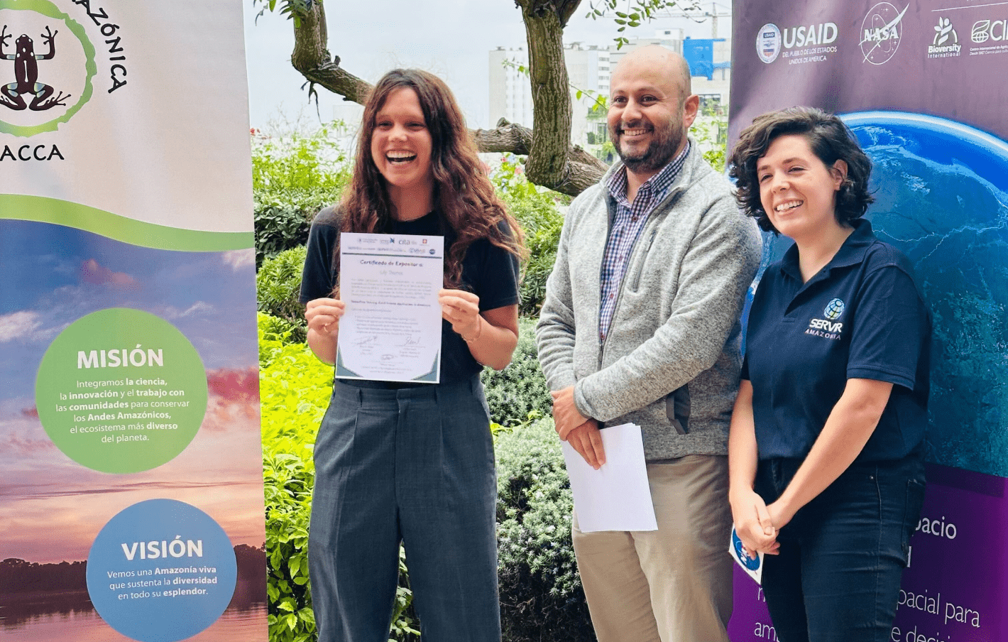
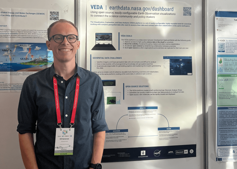
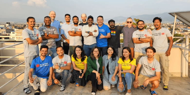
SatSummit convenes leaders in the satellite industry and experts in global development for two days of presentations and in-depth conversations on solving the world's most critical development challenges with satellite data.
Go to the SatSummit website
Development Seed hires some of the smartest, most passionate people eager to solve the planet's toughest problems, usually collaborating with mission-driven partners.
While we're compensated for most tasks, we also pursue self-funded projects that align with our values, such as maintaining open-source tools, staying updated with technological advancements, and creating solutions for environmental and humanitarian needs.
Our Labs feature both experimental and established open-source tools. We advocate for transparent development and welcome collaborations. If you have earth data-related challenges, we are always looking for compelling problem statements and real, hard problems to solve!
Join us
We're looking for mission-driven individuals eager to address some of the world's most challenging problems.