

Meet Henry Rodman, a cloud engineer at Development Seed who spends a lot of time thinking about how to make it easier for people to find, access, and actually use geospatial data.

Before Henry Rodman was building cloud infrastructure for geospatial data, he was a forest scientist trying to use it. And finding the right data could be a pain. You had to figure out who had it, where it lived, and how to search for it. Then you moved on to another dataset and learned a completely different system.
"You have to relearn that process every time you think of a new source or a new problem," Henry says.
These days, Henry is on the other side of that problem. As a cloud engineer, he works primarily with NASA on tools and infrastructure for accessing, discovering, and visualizing Earth observation data.
One of the projects he's working on right now is a good example. GEDI is a lidar sensor mounted on the International Space Station. As the ISS orbits Earth, GEDI collects observations of the Earth's surface below. There's a lot you can do with that data, but first you have to be able to get to the part you actually need. That's not especially easy with the way the data is currently organized.
Henry is working with a scientist on NASA's MAAP project to build a GeoParquet and Apache Iceberg archive of GEDI data. The idea is to let people query the archive using tools like DuckDB without having to first understand the structure of all the original files. Some of the challenge is technical: How should the files be organized? How should the data live in cloud storage? Some of it is more logistical: How do you publish it in a way that people can actually access? Get those pieces right and, as Henry puts it, querying a massive public archive of GEDI data could become almost as simple as sharing a link.
"The theme I'm always coming back to is data access improvements."
That's the kind of problem Henry likes. The data is already there. How do we make it easier for someone to do something with it?
It's a question that goes back to his forest science days.
Henry describes discovering STAC, the SpatioTemporal Asset Catalog specification, as an inflection point. What if, instead of learning how every individual provider organizes and serves its data, you could learn one way to search?
"I could just learn how to search that, and I wouldn't have to learn everyone's website and everyone's tools."
It's a fairly simple idea, but it changed how Henry thought about the problem. It's also why he keeps coming back to interoperability. Ideally, the person looking for data shouldn't have to know much about the standards making all of this work.
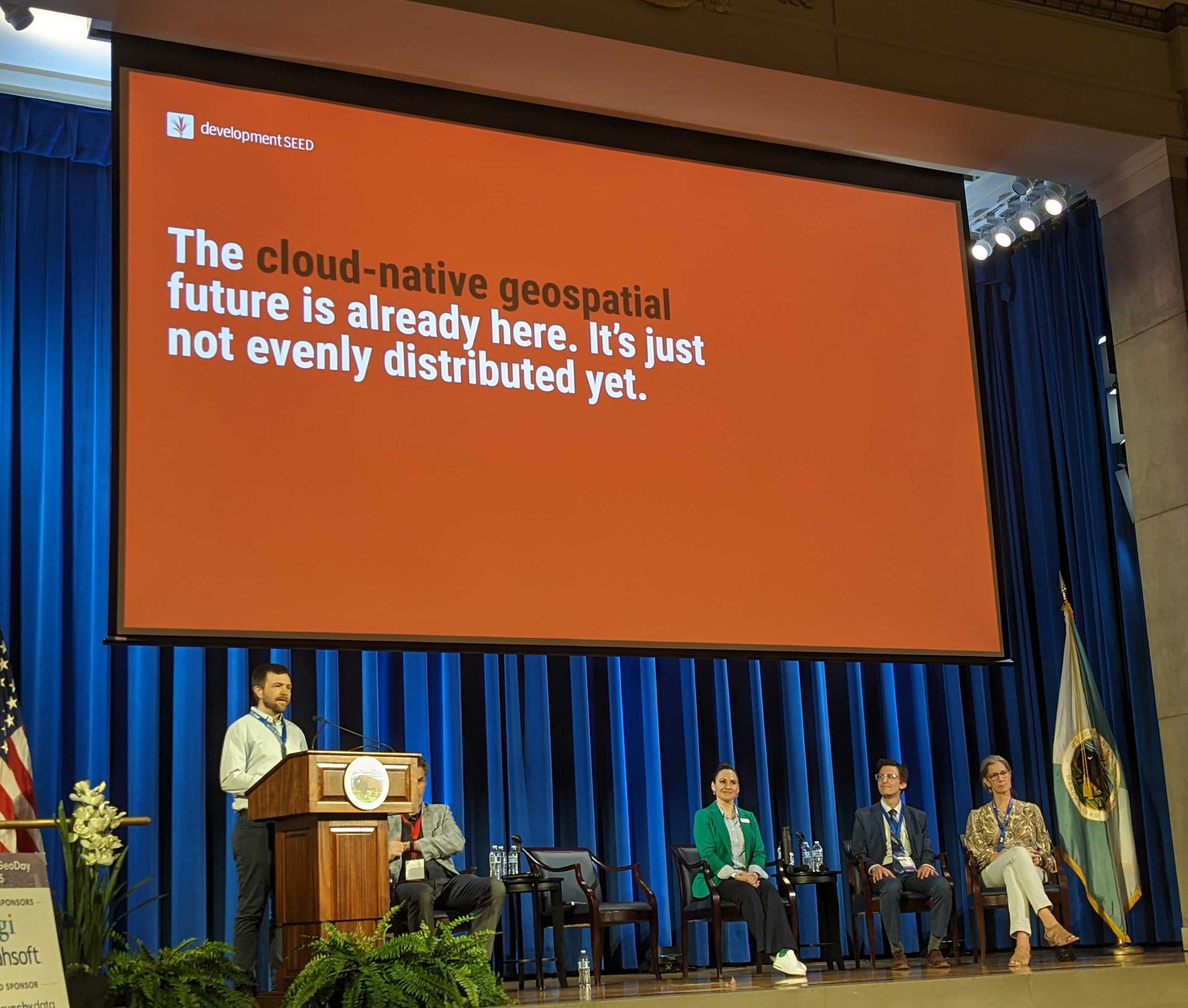
FedGeoDay 2025
"Most people should not have to worry about [standards] at all. That is the work of the tool builders."
Spend a little time talking to Henry and you'll also discover that this perspective has made him somewhat skeptical of solving every new problem with another custom tool or format. Ask him about building an application specifically to search or view a single dataset and he'll call it an engineering "anti-pattern." It might work really well for that one dataset. But now there's one more application to learn, one more workflow to understand, and one more way of doing essentially the same thing.
New data formats get some skepticism too.
"I'm always hesitant about new data formats," Henry says. "This better be good because we want it to be easy to open, and we have to do the work to make it easy."
Henry calls this his "grouchy" take. But it's also a pretty good shorthand for how he thinks about these problems. Does this new thing make it easier for people to work with the data, or are we giving them one more thing they have to learn?
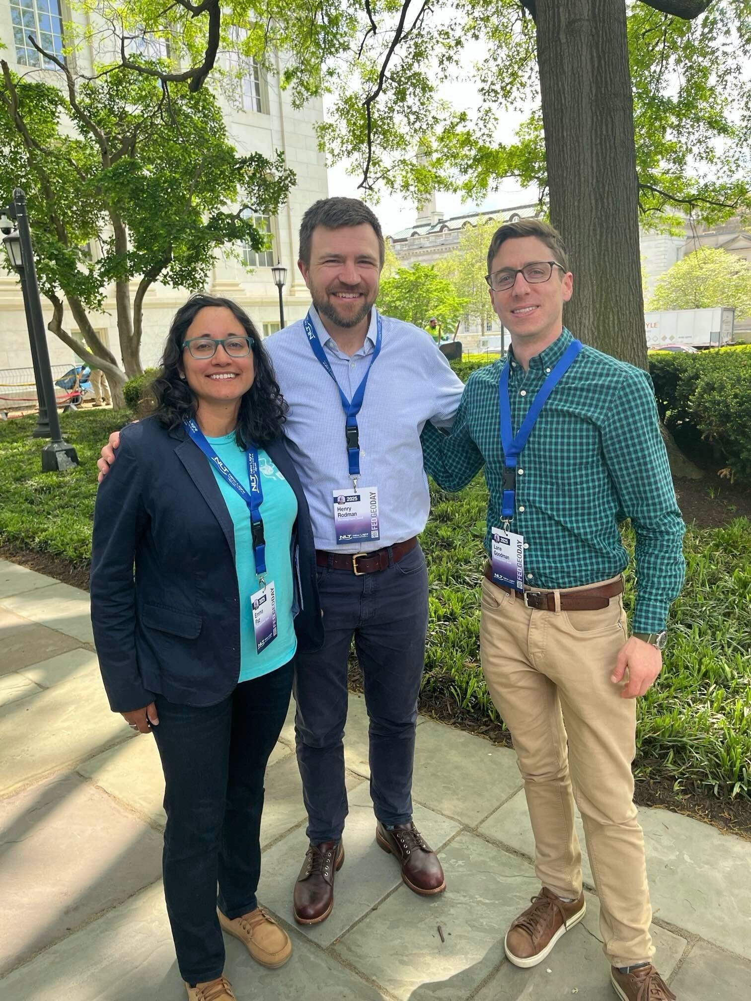
Emma, Henry & Lane
Lately, he's been following that question further upstream. A lot of Henry's work has focused on what happens once data already exists. How do we make it easier to find, query, visualize, and use? But what about how the data gets there in the first place? In many scientific modeling workflows, there can still be several steps between a model producing a result and that data becoming available to everyone else. Henry recently started working with National Weather Service data and has been digging into newer data-management tools that could simplify that process.
"How can we make publication of data as simple as possible?"
In Henry's ideal version, modelers could write results directly to cloud storage in a form that's immediately ready for other people and tools to use.
"We don't quite have the tools to do that yet."
Which means Henry has another data access problem to dig into.
Connect with Henry at FOSS4G North America in November where he'll be giving a talk on one of his latest projects, lazycogs and alongside Brianna Corremonte to talk about STAC Collection Discovery tools.
What we're doing.
Latest