

We turned technical cloud-native geospatial formats into an illustrated zine that helps scientists, developers, and data users understand how modern data formats are making Earth observation efficient and accessible.

I'm excited to share our latest resource in making cloud-native geospatial technology more approachable - "Optimizing Geospatial Data for the Cloud: A Zine Exploring Common Formats (read for free here)." This illustrated guide breaks down complex data formats and concepts through the adventures of Vector, a curious raccoon, and C.O.R.A (Cloud Optimized Remote Assistant) as they explore how modern data formats transform Earth observation.
Why a Zine
I believe that big ideas are best shared through accessible, creative, and impactful formats. Cloud-native geospatial formats like COG, COPC, Zarr, and GeoParquet are transforming how we work with Earth observation data. Still, their technical complexity can be intimidating for newcomers to the field.
While the more comprehensive Cloud-Native Geospatial Guide that we helped develop provides detailed technical documentation and implementation guidance, we recognized the need for a more accessible introduction to these concepts.
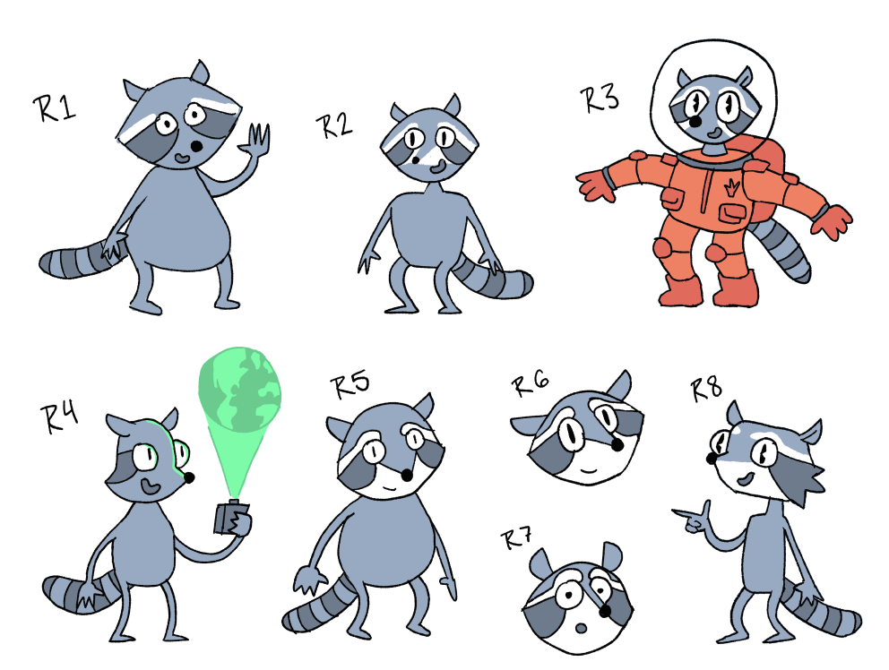
Some early versions of Vector.
Comics and zines have the unique power to make complex ideas accessible through what Scott McCloud, in his seminal work "Understanding Comics", calls "amplification through simplification." When we simplify an image to its essential meaning, we're not so much eliminating details as focusing on specific details. In our case, this meant distilling complex data structures and computational processes into visual metaphors that readers can intuitively grasp.
The zine (short for fanzine or magazine and rhymes with ‘bean’) format also has a rich history in democratizing knowledge and building communities around technical topics. From early computer programming zines of the 1980s to modern scientific communication, zines have proven effective at breaking down hierarchical barriers to technical knowledge. Research has shown that visual storytelling can enhance comprehension and retention of technical concepts by engaging both verbal and visual processing channels in the brain (Mayer & Moreno, 2003).
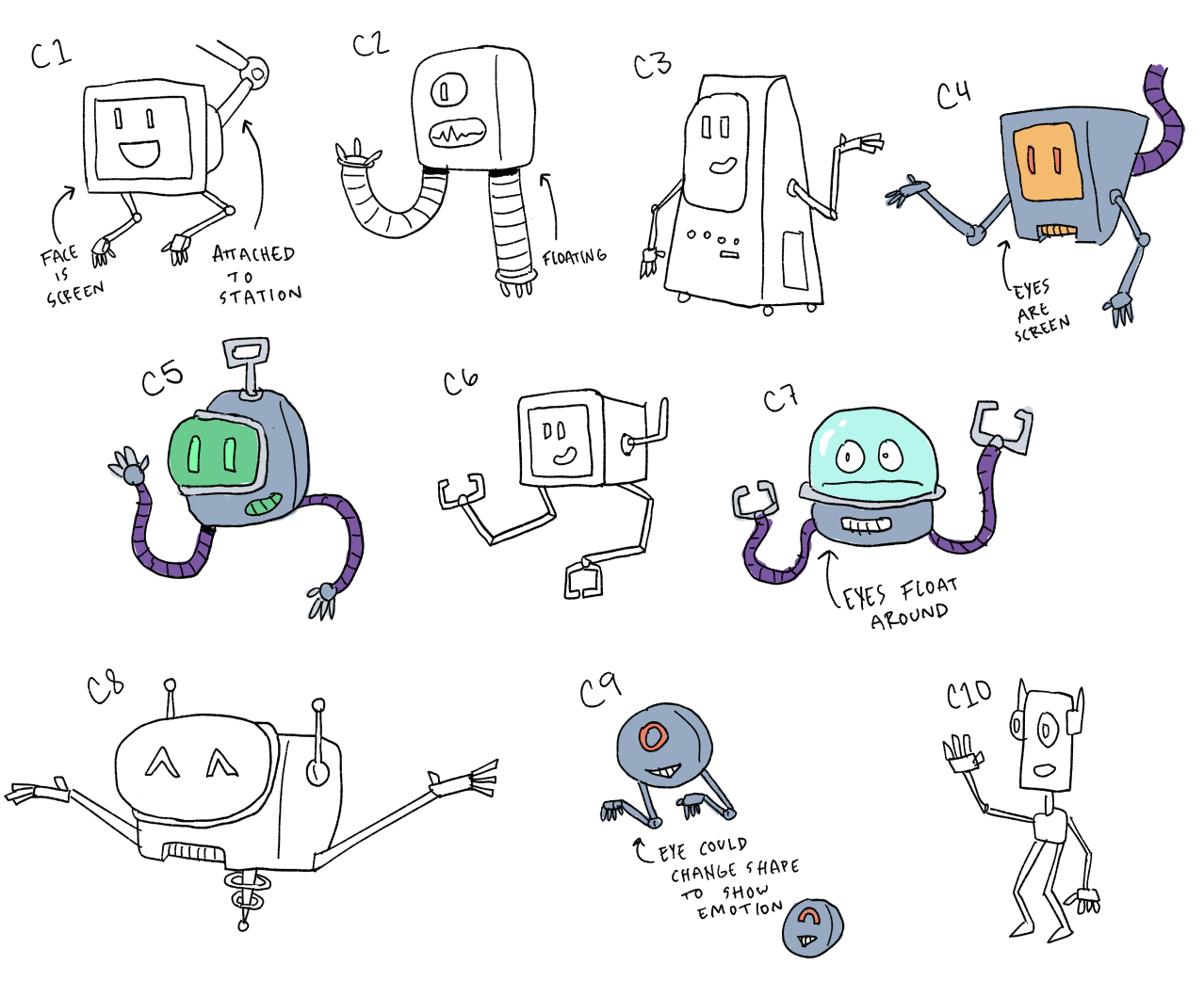
Early ideas for C.O.R.A
This visual approach is particularly valuable for cloud-native geospatial formats. The zine complements existing technical documentation, offering an accessible entry point to help readers build confidence in diving into more detailed technical resources later. By combining technical accuracy with engaging storytelling, we're working to expand the community of people who can effectively work with Earth observation data.
The Creative Process
This project combined technical expertise with creative storytelling to make technical concepts more digestible. In collaboration with illustrator Gus Becker, we developed characters and narratives that could guide readers through technical concepts using real science-based stories.
The idea to create "Optimizing Geospatial Data for the Cloud" was inspired by other technical illustration and storytelling projects I’ve admired. From Julia Evans' Wizard Zines, which showed how to make programming concepts approachable, to Spatial Statistics Illustrated by Lauren Bennett and Flora Vale, and my kids’ Science Comics, these works showed how visual storytelling could complement traditional technical documentation like our Cloud Native Geospatial Guide.
The search for the right collaborator led to Gus Becker, whose unique combination of illustration talent and technical expertise—including a PhD in materials science—made him the perfect partner. Together, we developed the characters of C.O.R.A. and Vector to guide readers through these concepts while adding personality and humor to the technical content.
While Gus worked on storyboards, I collaborated with our technical team to develop realistic scenarios showcasing practical applications of cloud-native formats. Focusing on four key formats (COG, COPC, Zarr, and GeoParquet) allowed us to keep the project manageable. Through multiple iterations and technical reviews, we worked to find the sweet spot between accessibility and accuracy, creating visualizations that help readers build useful mental models of these concepts while ensuring the scenarios reflected real-world applications of the technology.
Big ideas are best shared through accessible, creative, and impactful formats.
Key Concepts Through Storytelling
The zine takes readers on a journey through three real-world scenarios where cloud-native formats make a difference:
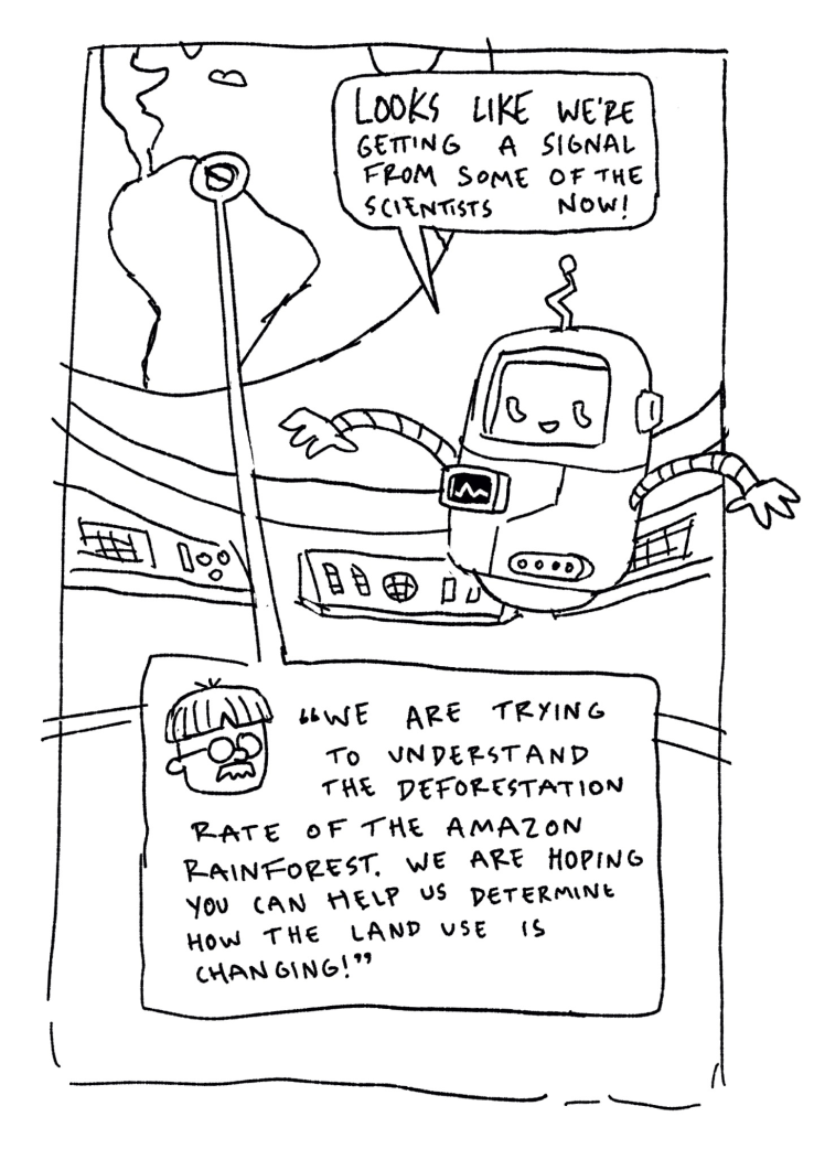
A draft page of our science stories.
Monitoring mangrove deforestation using COG and COPC formats: Scientists use satellite imagery and LiDAR data to track changes in mangrove forests, where efficient data formats help them analyze both the 2D extent and 3D structure of the ecosystem.
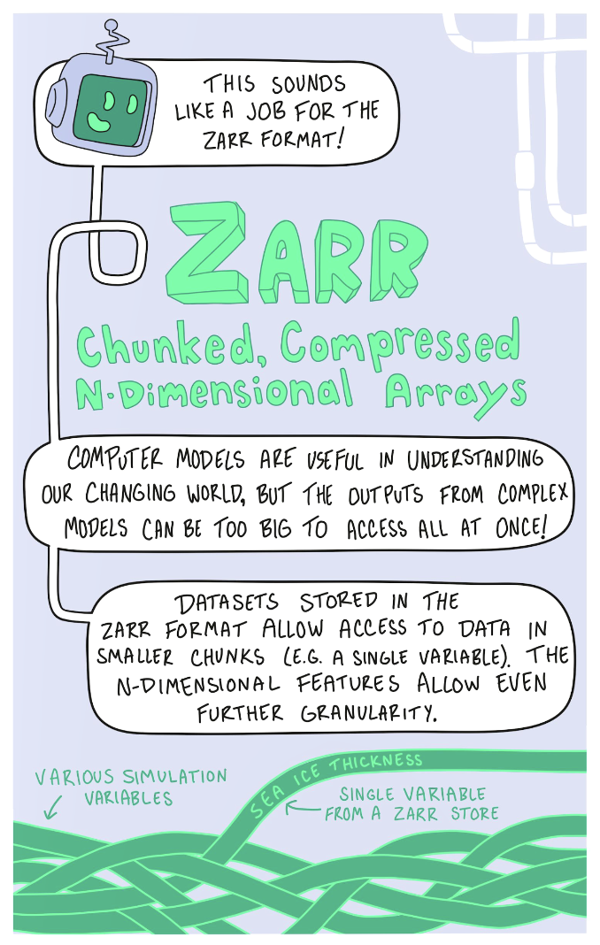
Analyzing sea ice decline in the Beaufort Sea with Zarr: Climate scientists working with large model outputs use Zarr to efficiently access and analyze specific variables from complex climate simulations, helping them understand patterns of sea ice loss in the Arctic.
Tracking wildfire smoke plumes using GeoParquet: During active wildfires in Western Canada, researchers use GeoParquet to efficiently track smoke plume movement and alert at-risk populations about air quality concerns, demonstrating how vector data optimization helps deliver timely environmental warnings.
An early draft of a story idea.
While the zine uses friendly characters and simple explanations, it doesn't shy away from technical accuracy. Each format is explained with real-world applications and actual technical specifications, making it valuable for beginners and experienced practitioners looking for a clear overview.
Building a More Accessible Earth Data Community
By making these concepts more accessible, we hope to lower the barriers to entry for working with Earth observation data and encourage more diverse participation in the geospatial community.
This was a fun experimental project. We’d love to hear your feedback on this and what topic you’d like to see us tackle next.
You can read the zine for free at zines.developmentseed.org.
You can find us at a conference this year to score a hard copy of the zine. Check out our community calendar or sign up for our email list to find out where we will be.
If you are interested in printing a batch of zines for yourself, contact kiri@developmentseed.org. The zine is licensed as CC BY-NC-SA 4.0, and Gus Becker should be credited for his illustrations.
What we're doing.
Latest