

Today, we are launching Mapbox GL Director, an interface to generate terrain flyovers for apps and websites. With Mapbox GL Director, set up a sequence of shots like in a video editing suite. Mapbox GL Director then generates code to paste into an application to create 3D flyovers. The tool is built on the new Mapbox GL JS SDK, using the Camera API, that just launched this morning, and leverages 3D rendering improvements in Mapbox GL JS v2 and the new Mapbox Sky API.
Build this...
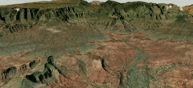
Ethiopian Highlands
...using this
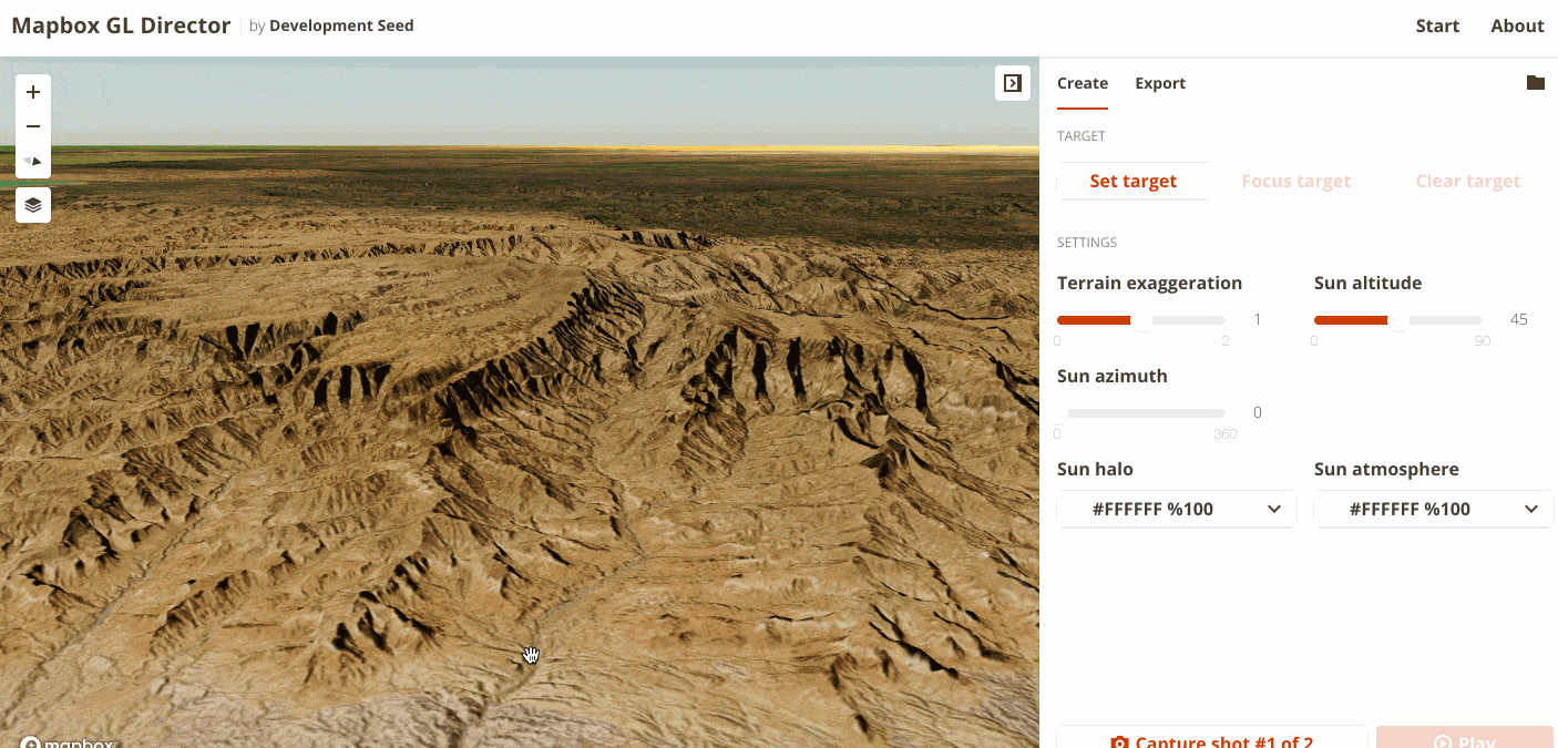
Mapbox GL Director interface
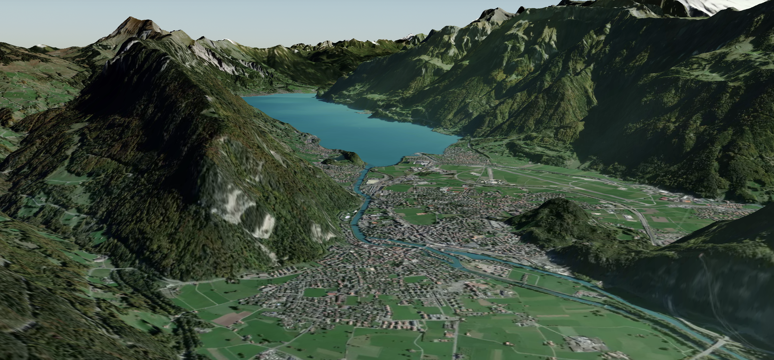
Flyovers and 3D maps provide context and perspective, especially when terrain is part of the story. By following a GPX trace, bring users along for an Iditarod, a dangerous border crossing, a hike along the PCT, or their afternoon run. In the next few weeks, a GPX trace plugin is coming to Mapbox GL Director. Sign up for updates.
Terrain Plus Data
Overlaying data unlocks powerful new insights: landslide risk, microclimate zones, wildlife habitat range, solar mini-grid proposals, and more. In the coming weeks, there will be new features to overlay, combine, and style data directly within Mapbox GL Director. Sign up for updates.
Build better together
The code behind Mapbox GL director is open source under an MIT license. You can contribute to the project or file bugs and feature requests on GitHub.
What we're doing.
Latest