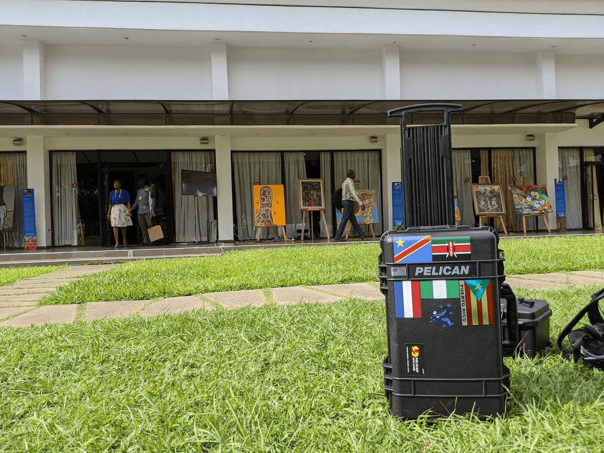
This week I’m in Abidjan in Côte d’Ivoire participating in the regional Understanding Risk and State of the Map Africa conferences. It’s great to see so many people of the disaster risk and mapping communities come together and figure out how they can collaborate to create a more resilient future.
Advances in remote sensing and artificial intelligence mean that our capacity to generate data is ever increasing. At the same time, we need to think about what tools decision makers need so they can derive meaningful insight from all this data; no friction tools that require little effort and are designed for quick adoption. Better decision making revolves around tools and models that are open, capable of repeatable science, and allow users to interact with and tailor data to their specific needs, avoiding algorithmic bias. As users needs change, tools need to be flexible and easy to update as bigger and better data gets collected.
I’ll share more about building flexible tools for this type of environment over the next couple of days. Find me at the following sessions:
-
**Support Decision Making for Resilient Transport ***Thursday 11:00–12:30 *During this panel I’ll highlight tools that introduce climate resilience in the planning process for road investments in Mozambique and Haiti.
-
**Artificial Intelligence for Mapping and Urban Monitoring ***Friday 14:00–15:30 *In a panel with Mapillary, Facebook and the German Space Agency, I’ll talk about Urchn and Housing Passports. The first, is a tool we built with Maxar to detect where urban change is happening and compares this with OpenStreetMap data. The latter, is a project that combines street level and overhead imagery to create a more complete picture of vulnerable houses.

In addition, I’ll show the Mapbox Field Kit and demonstrate a way to create maps and serve them in offline environments.
If you’re at the event, stop by my sessions to say hi 👋🏼, or follow the conversation on Twitter.
What we're doing.
Latest
