Olaf shares day one for DevSeed Data on the Development Seed Blog
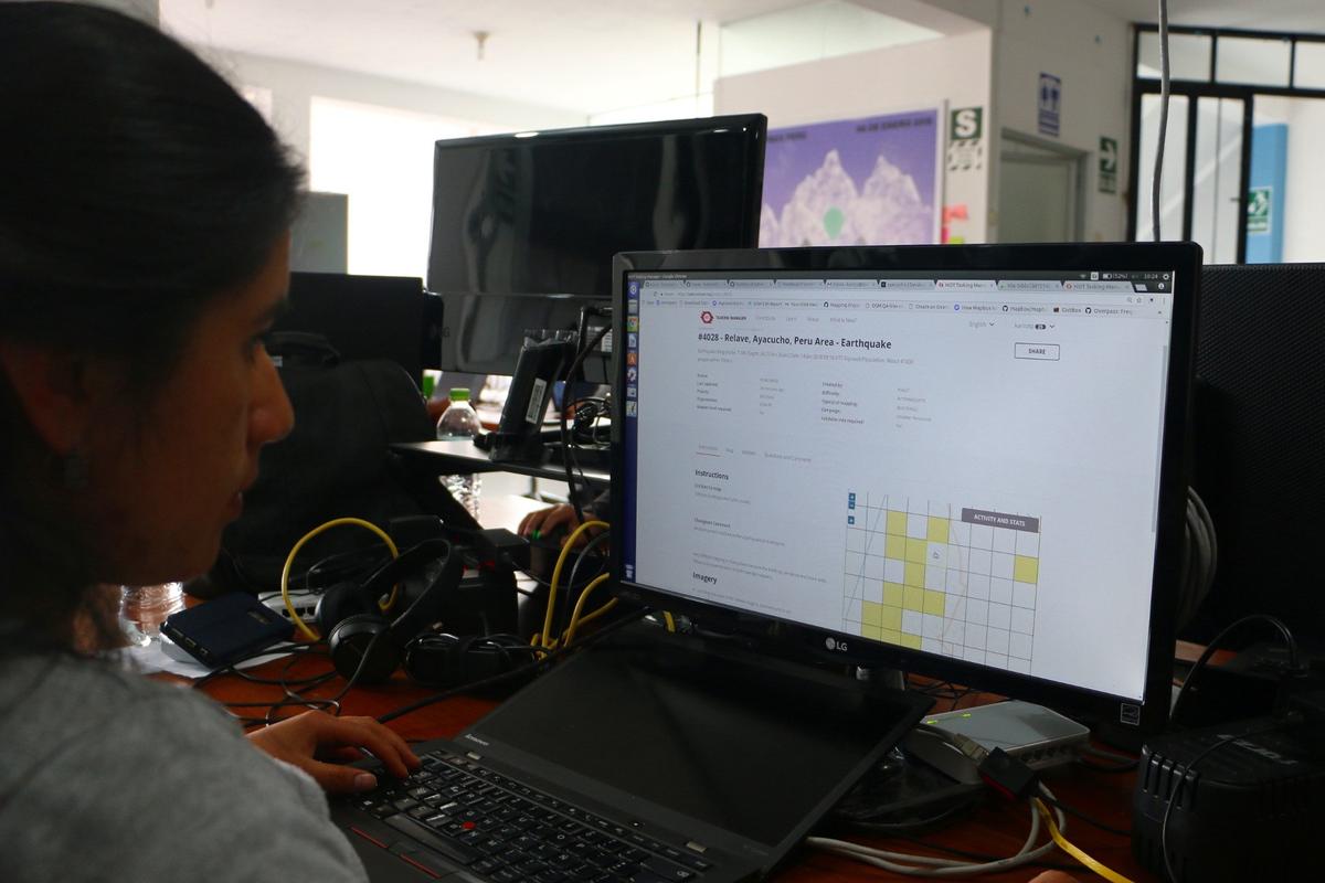
Team Ayacucho started this week and immediately started mapping earthquake affected areas in Peru. Our team in Ayacucho, Peru is the core of DevSeed Data. DevSeed Data will create open and high quality geospatial data for our humanitarian partners and advance the state of machine learning in the developing world.
Day One
The Ayacucho team started their first day back at work by participating in the Humanitarian OpenStreetMap Team’s (HOT) Validation Friday. HOT creates urgently needed maps of areas where disaster response efforts are underway. HOT enlists thousands of new mappers in this effort. Validation is critical part of the process. It maintains the high quality of OSM data and provides valuable feedback that grows the skills and commitment of new mappers.

On Sunday, a magnitude 7.1 earthquake hit 35 miles from Acari, a town in Southern Peru that is about 150 miles from Ayacucho. On Monday the team started working with the HOT and the with the local OpenStreetMap community to map buildings and roads in the affected areas.
Mapping the world for the world
This Data Team will create high quality map data for pressing global challenges. The Ayacucho team comes to us from Mapbox where they worked on some of the biggest and toughest mapping challenges. This team is among the best in the world at creating and improving map data. At Development Seed the team will continue to contribute high quality data for OpenStreetMap in the service of our partners and their users.
-
Mapping for development — our partners use OSM for everything from better planning of off-grid energy services, to assessing the impact of road investment decisions on the accessibility of rural populations. Our Data Team will work with these partners to make sure that the map is as accurate and complete as possible.
-
Validation — with a combined mapping experience of 30 years this team gets OpenStreetMap. They will continue to work with communities like HOT to validate contributions from the community and make sure the map remains of high quality.
-
Improving the state of machine learning — companies are creating machine learning models to automatically detect roads, evaluate crop production, and predict the impact of disasters. These models are developed on rich datasets from Western countries and tend to underperform in the rest of the world. The data we create will allow us to quickly develop accurate machine learning models for under-mapped parts of the world.
-
Integrate ML in mapping workflows — machine learning is developing fast and has tremendous potential to support mappers in their work. This team will be key in helping us design better workflows and tools that allow mappers to focus their efforts on the tasks that fit their interest and skill-level.
-
Better tooling — governments and large institutions are realizing that the software that powers OpenStreetMap offers a great enterprise platform for collaborative management of geodata. We’ll work with institutions that adopt OSM internally to adopt efficient tooling and workflows for data creation, curation, and validation.
You can follow the Data Team on the OSM wiki and on our open mapping repo. If you have a data challenge that you’d like to collaborate on, contact Olaf to start a conversation.
What we're doing.
Latest
