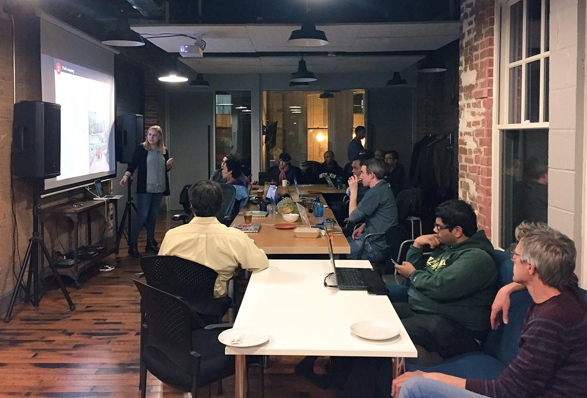
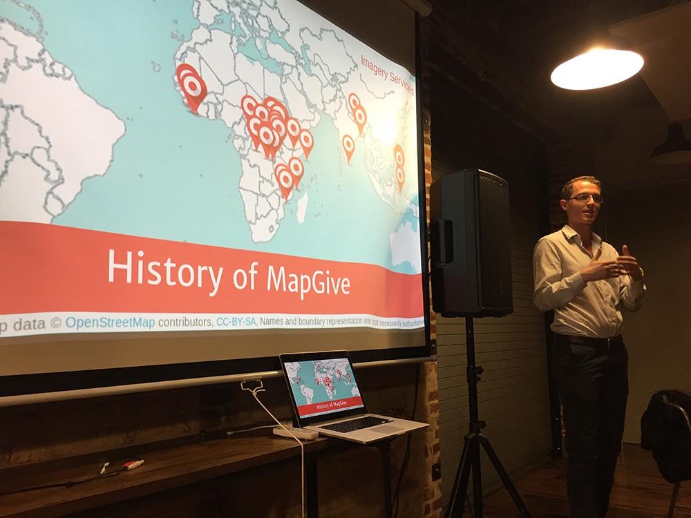
The American Red Cross, MapGive, and USAID/OFDA joined our team on Monday night to kickoff GeoWeek in DC. We started the night off with presenters showcasing their work for the OpenStreetMap community. These institutions apply open source and open data sharing for humanitarian response and economic development.
Rachel Levine from the American Red Cross began by explaining her role in the community, and used examples of projects people are contributing to around the world. She then spoke about the missing maps project in Malawi.

We then heard from Keifer Gonzalez of USAID/OFDA who discussed decreasing volcanic risks in Indonesia, and shared explosive photos of volcanoes. Andrew McKenna from the State Department’s MapGive program talked about U.S. President’s Emergency Plan for AIDS Relief. PEPFAR requests help to inventory buildings and roads for HIV/AIDS prevention and treatment programs in Tanzania.

We had mappers with all levels of experience join us: active mappers chose the project that resonated with them most and began mapping after presentations concluded; Tom Gertin (MapGive) walked beginners through the ins and outs of contributing to the OSM Community.
If you’d like to contribute to mapping these projects, check out the HOT tasking manager for tasks #750, #2296, #2301. Happy mapping!
What we're doing.
Latest
