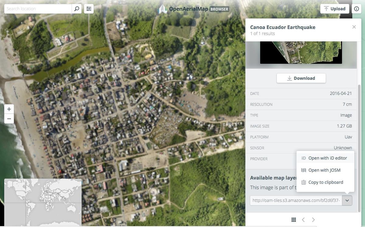
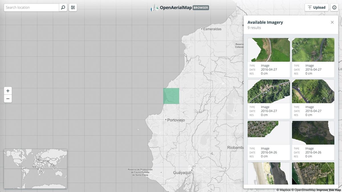
Post-earthquake drone imagery is now available on OpenAerialMap. These images were collected by local drone operators coordinated by the UAViator network, mostly by the Instituto Geográfico Militar, the Universidad de Cuenca, and the Voluntarios UAV-ECU. Thanks to Francisco Ruiz for helping coordinate. All of the imagery is very-high resolution, and available for tracing in OSM.

Drone pilots around the world stand ready to help respond to disasters. OpenAerialMap is a platform for drone and satellite operators to easily share openly licensed imagery. OpenAerialMap is a managed in partnership by the Humanitarian OpenStreetMap Team, Development Seed, Azavea, Stamen, and other humanitarian tech partners.
You can contribute by mapping now. If you are new to OSM mapping, get started with these great training videos from our friends at Missing Maps.
 Start mapping now
What we're doing.
Latest
