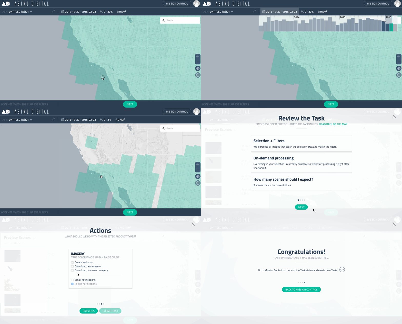
The new Astro Digital Imagery Browser launched today. It is incredibly easy to process satellite imagery for the places that you care about — today and into the future. Use the platform to track urban sprawl, detect illegal logging, or monitor the agricultural modernization project that you are about to kick off.
 Fast and responsive. We use Mapbox Vector Tiles to quickly filter through hundreds of thousands of satellite metadata records right in your browser.
What we're doing.
Latest
