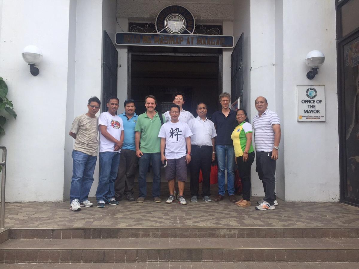
We are getting out of Manila and are field-testing some of our tools and assumptions in Quezon this week, a province about 3–4 hours travel. This is part of our engagement with the World Bank to help the Philippine government use open source tools to manage road data across government. We are meeting government officials across a number of road-building national agencies and local government road managers, to design tools that can support them to make better investment decisions.
 A warm welcome by the municipality of Lucban. Photo by Kai Kaiser.
We are using Mapillary and Routeshoot, two mobile apps that record images and GPS tracks as you walk or drive. Routeshoot also records elevation data, which is useful for planning road improvements. It also captures the speed the surveyor was moving, from which you can infer road quality. Both apps work on simple Android devices and allow local engineers to do first-pass assessments on the cheap. They also work offline by design.
Stay tuned for more updates as we continue building out OSM as a platform in the Philippines.
What we're doing.
Latest
