

Today we’re releasing a beta version of OpenAerialMap. OpenAerialMap makes it easy to share and find open satellite and drone imagery. This is critical to the work of the disaster response community. We are launching this tool in close partnership with the Humanitarian OpenStreetMap Team (HOT).
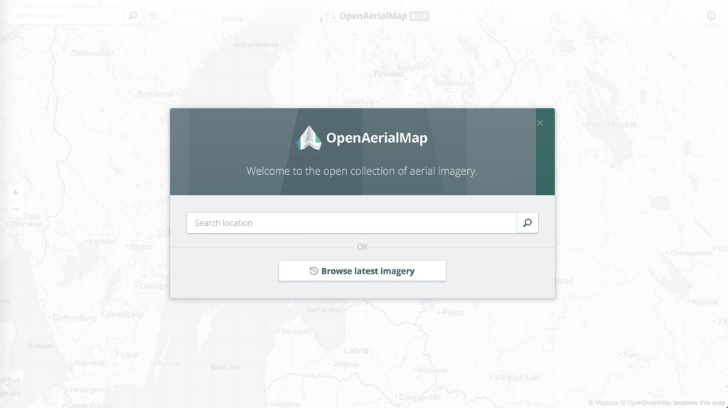
OpenAerialMap is a set of tools for searching, sharing, and using open satellite and drone imagery. This initial release includes the core infrastructure to catalog petabytes of open imagery. It also includes an extremely usable API and an elegant web interface to submit, search and download available imagery.
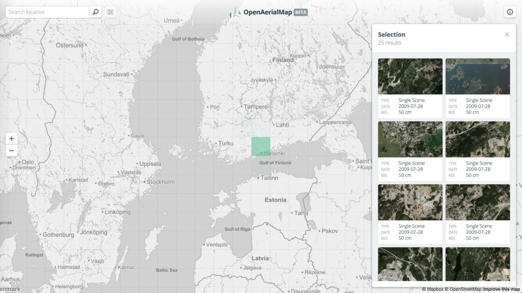
 Search for available imagery.
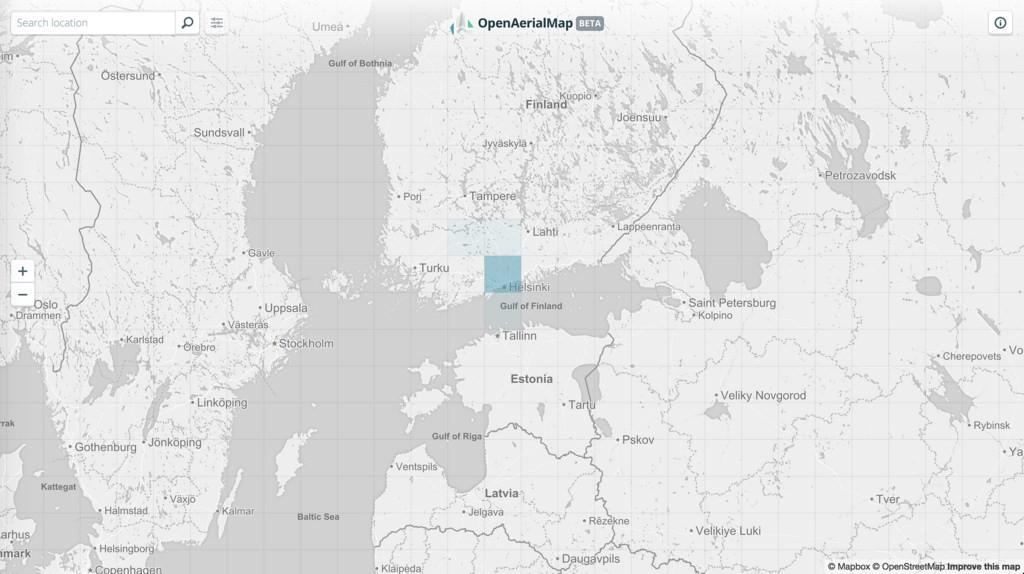
 Select scenes by grid.
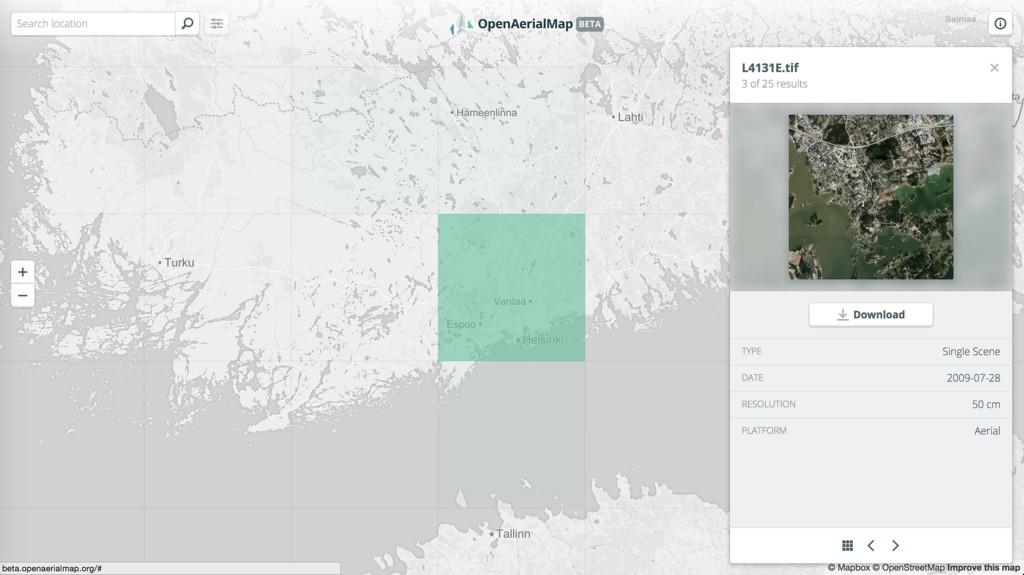 Preview imagery and get metadata information.
Rebooting a great concept
The OpenAerialMap concept has bounced between several attempts over half a decade. Previous attempts failed to take off. HOT reinitiated the concept this year with funding from the Humanitarian Innovation Fund. We worked with the HOT and others in the open imagery community to reimagine an approach to OpenAerialMap that we expect to be much more successful.
-
We focused on simple, usable toolset that meets the clear needs of the humanitarian response community. The underlying architecture is flexible enough to be immediately useful to research, resource management, urban planning, and other communities. However, we decided to first build a frictionless interface for the clear needs of the disaster response community.
-
We are extremely focused on community. From day one, we involved other organizations and developers like Azevea, Planet Labs, Cadasta, OpenDroneMap and HOT’s own developers.
-
With these and other groups, we reimagined OpenAerialMap along a network model. Rather than try to house all the open imagery out there, OpenAerialMap is a node and index for a larger network or open imagery — the Open Imagery Network.
A network approach to open imagery
Open Imagery Network (OIN) is a simple framework and license for placing imagery into an open source license. Participants in the OIN adopt a common metadata scheme to describe the imagery they are making available, and standardized ways to broadcast and access that data. This allows us to build tools that search across all open imagery data without requiring one entity to host all of it. We’re working with HOT, Planet Labs, Cadasta, Azavea, OpenDroneMap, and others to develop OIN and to build OpenAerialMap as the first node in that network.
Your feedback
A vibrant community will be critical to the success of OpenAerialMap. Check out the beta version and send us feedback on Twitter. Or open an issue or make a contribution on Github. Currently OpenAerialMap has imagery from the Nepal earthquake response, high resolution satellite imagery of Finland, agriculture imagery over Nebraska, and drone imagery from Vanuatu. We’ll work to add functionality and features toward an initial release candidate later this summer.
What we're doing.
Latest