Exploring events from space is going to get a little easier. Below is a sneak peek of a simple and smart utility we’re working on to save ourselves some time searching, downloading, and processing Landsat imagery.
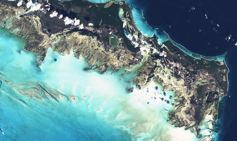
Turks & Caicos (path: 09, row: 045, id: LC80090452014008LGN00)
We regularly use satellite imagery to better understand global events. Landsat-8 is a satellite we love because it is open data that is regularly updated. We think this tool will help other developers and organizations to work with open satellite data. Check out below a few of our other favorite spots we’ve processed through the tool.
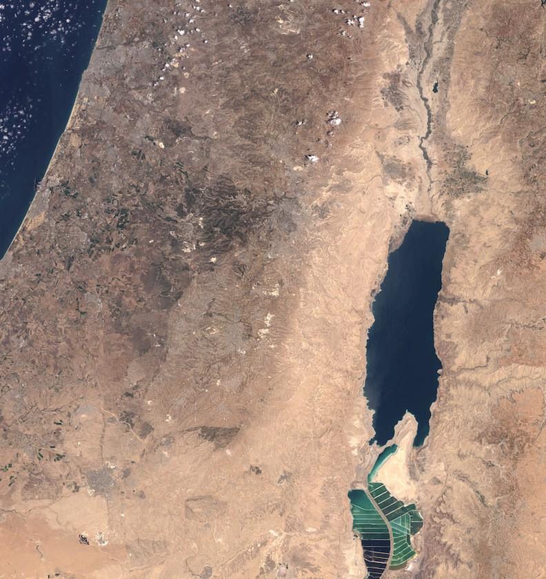
Palestine and Israel (path: 174, row: 038, id: LC81740382014188LGN00)
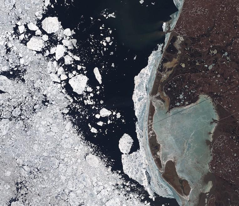
Yamal Peninsula, Siberia (path: 168, row: 010, id: LC81680102014178LGN00)
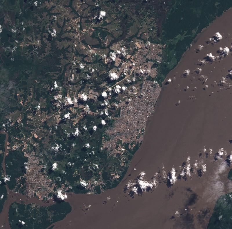
Amazon Delta, Brazil (path: 225, row: 060, id: LC82250602013174LGN00)
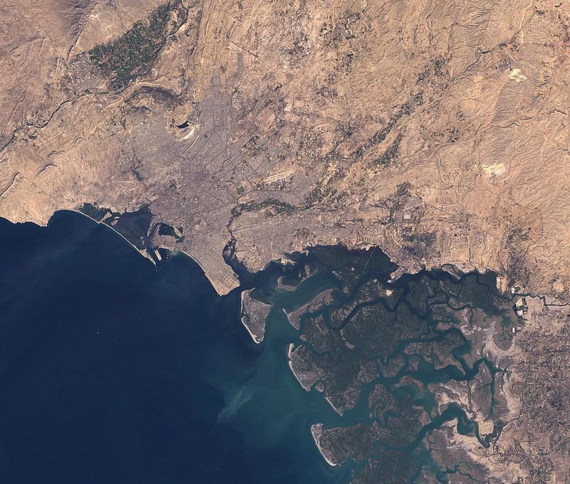
Karachi, Pakistan (path: 153, row: 43, id: LC81520432014018LGN00)
What we're doing.
Latest
