Last Saturday’s election in Afghanistan took place in 2,000 schools, 3,000 mosques, and countless other municipality buildings. These exact locations were made available by Afghanistan’s Independent Election Commission (IEC), and represent a rich data set of religious and education institutions across the country. We’re passionate about building data as infrastructure and we’re beginning to work with the OpenStreetMap (OSM) community to import this data into OSM.

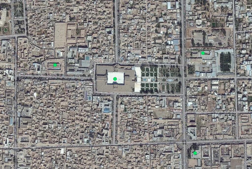
Satellite image above Jama Masjid of Herat. Green dots represent polling center locations across the city.
Integrating this data into OSM makes it part of a permanent data infrastructure so it’s available for everything from development projects to emergency preparedness and response. The recent mapping response to the Ebola outbreak shows again the importance of geographic information for responders. This data will soon be available to humanitarians, future election observers, and developers.
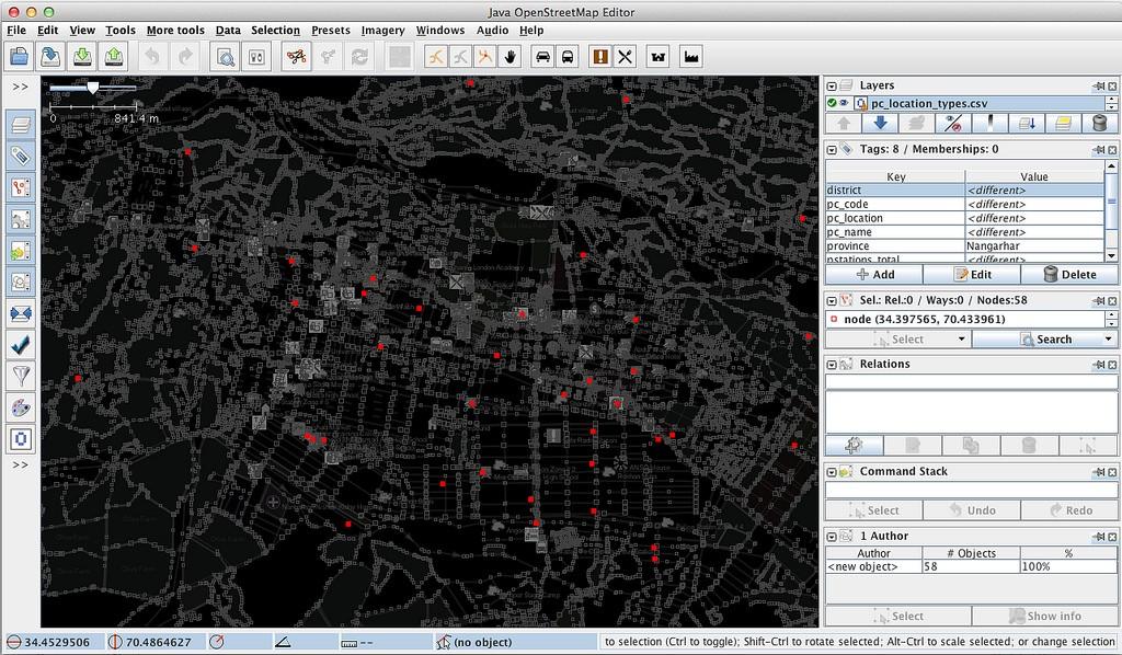
We’re just beginning the import process. Here’s a look at the beginning of the merge process in JOSM.

Red dots show POIs over curent OSM data in Jalalabad.
State of the Map US
If you are at State of the Map US this weekend, look for Jue, Ian, Nate, and myself at the conference. We love to talk about using OSM and other open data in government and development projects.
What we're doing.
Latest