I’m in Beirut all week working with the Lebanon Reforestation Initiative mapping team on new ways to publish their environmental analysis to stakeholders, researchers, and partner NGOs. The reforestation work this team is doing is essential. Lebanon’s forests have been reduced by 30% in just the past 30 years. This loss is equivalent to the loss over the past 2,000 years.
Maps are being used to change the trajectory and regrow forests across the country. Mapping coordinators use data to determine where to reforest and which species to plant, directly informing the scope and direction of the whole organization’s work. Lebanon Reforestation Initiative is also engaging their on the ground partners and stakeholders to publish their own maps using open source tools. There is a lot of energy in the online map publishing space here as the team gears up to launch with their new website in the next few weeks.

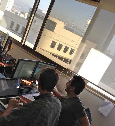
Working with vegetation expert Joseph on the mapping site.
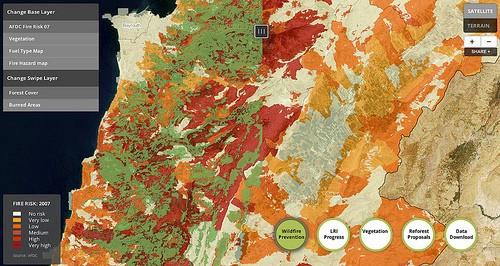
The mapping and data team has been amazing to work with. We’re excited to be part of their work analyzing potential reforestation sites and measuring current sites. Here is a quick preview of some of the maps we have been working on together.

This map uses swipe to compare combinations of layers, seen here are forest cover and wildfire risk.
We’lll post more in a few weeks when the full mapping app launches!
What we're doing.
Latest