
Open Atrium Improving Team Communications On the Ground in Pakistan
- Estimated
- 3 min read
Development Alternatives Inc. (DAI), one of the leading international development contractors, has deployed Open Atrium to help its GIS team in Islamabad communicate with its office in Peshawar and headquarters back in Bethesda on a capacity building project. In addition to improving team communications, they decided to use Open Atrium to boost the project’s transparency for USAID and to get a sustainability win by using open source software that can stay behind with the local team in Pakistan long after the mapping project is completed.
Below is a short Q&A I had with Andrew Ross from DAI’s GIS office about his work and how Open Atrium is helping.
Q: Can you tell us about your project and your team in Pakistan?
A: We are working on a capacity building project to assist organizations in Peshawar and develop capacity in many areas. Specifically our project currently has four GIS staff based in Peshawar, and we also have an office in Islamabad. We produce GIS products for a number of clients and share development statistics with other organizations. We are also developing systems to help share this data. Workflows are difficult to establish as our staff are frequently move between offices.
Q: How is Open Atrium helping your team?
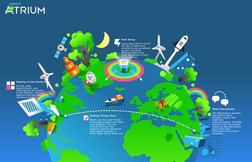
A: Open Atrium is simple enough that it does not impose a workflow, and it is flexible enough that it can be modified over time as our workflow changes. We mostly use Open Atrium out of the box right now. We have multiple groups for the major projects we are working on that help us organize our information and let us bring in people as required to specific sections.
The blog lets us have discussions around ideas, issues that need discussion, and important announcements. For example, shifting to the new office, discussion of map legends, discussion/ announcement of upcoming audits, etc. This is not a good place to put map requests or system bugs, but it is helpful for other communications.
We use the documents section more for static resources and information saved for archival purposes, including reports, tabular data (not layers) such as village lists, software keys, and maps from our Map Catalog.
The calendar of course lets us track events — visits, appointments, meetings, etc. We are working to make the calendar better for handling different time zones, a must for international development organizations. The calendar is something we really need in order to schedule various trainings, and we hope the timezone issues will be rectified shortly.
Finally we have really bought into the case tracker for tracking work that needs to be done, particularly for bugs/issues with the ATS, map requests, and other specific work items. This section is extremely important in order to calculate the number of GIS outputs. All requests must be included here. No maps should be made until they are first logged in the case tracker.
Q: Does open source matter?
A: We use open source software for many aspects of our work. Our servers run Linux with common postgres, apache, and php for scripting. Our systems are deployed in government offices and other partner organizations. In Pakistan it is not sustainable to deliver a system with yearly licensing costs, and local support staff can be difficult to find and extremely expensive. PHP and Drupal developers are readily available across the country. OpenSource software fits with development work, especially in GIS and mapping.
What we're doing.
Latest