Summary
Executive Summary
Many people in the world still do not have access to electricity. In developing nations, this problem is especially acute as it limits participation in modern economy and culture. Improving the electric grid, however, is often logistically challenging in these regions because there is rarely a complete and accurate map of the existing electric infrastructure. This map is crucial as there is no way to make informed decisions on how to spend resources to improve the electric grid without it.
Toward solving this problem, we built a pipeline to efficiently map the high-voltage (HV) grid at a country-wide scale. This pipeline relied on both machine learning (ML) and our Data Team -- a group of eight professional mappers. The ML component processed satellite imagery across an entire target country and returned geospatial locations likely to contain HV towers -- the tall metal structures that support HV lines running for hundreds or thousands of kilometers. Our Data Team then overlaid this information on top of satellite imagery and used it as a guide to help quicken their mapping of HV towers, lines, and substations. With this overlay, they could focus their attention on high priority areas and avoid the tedious task of reviewing entire countries worth of imagery by hand.
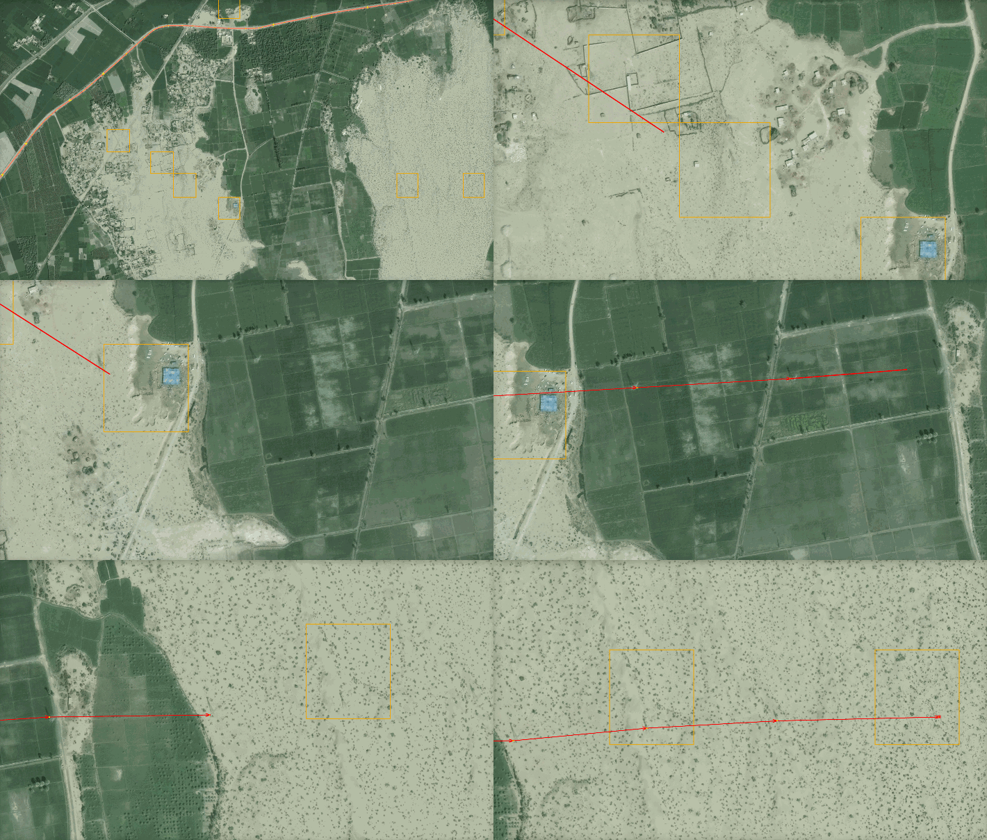
Using this pipeline, we mapped nearly all of the HV network in Pakistan, Nigeria, and Zambia and found that our ML model increase mapping speed 33-fold per km2 compared to a purely manual approach. Examples of satellite images and the final workflow are below. The model, code, and mapping output are openly available, and we outline possibilities for further improvements of this pipeline in the Discussion section.

