Examples
- Speedtest data
 using
using ScatterplotLayer - North America roads
 using
using PathLayer - Overture Maps buildings
 using
using PolygonLayer - Global boundaries
 using
using PolygonLayer - U.S. County-to-County Migration
 using
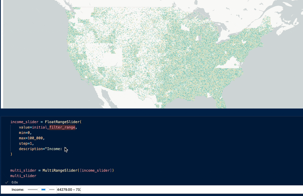
using ArcLayerandBrushingExtension - Scatterplot with GPU data filtering
 using
using ScatterplotLayerandDataFilterExtension - Motor Vehicle Crashes in NYC
 using
using ScatterplotLayer - Rivers in Asia
 using
using PathLayer
Integrations


Third-party showcase
These examples are maintained by external contributors.