Examples
Interactive demos built with deck.gl-raster. Each example opens as a standalone application.
COG Examples
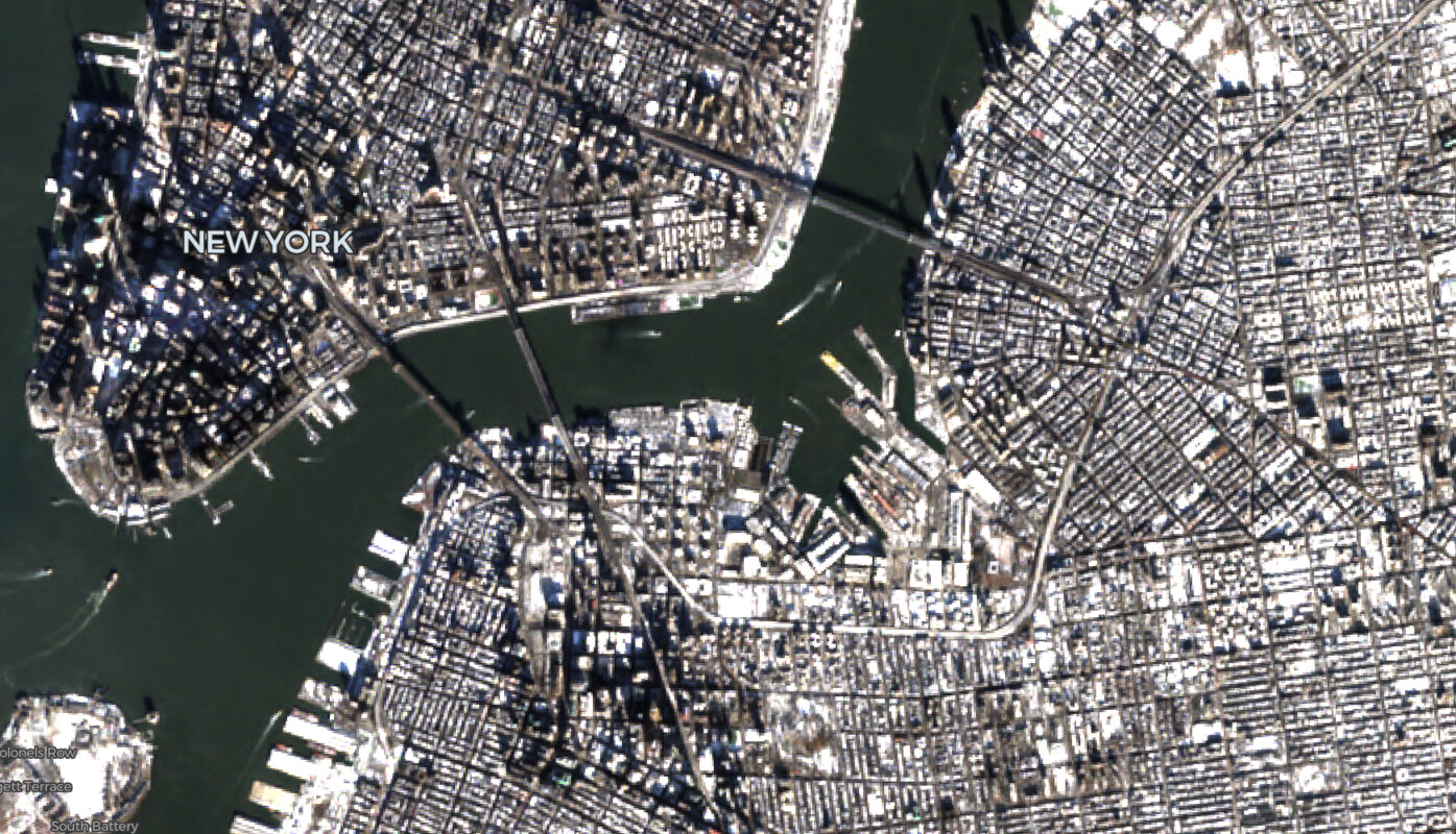
RGB GeoTIFF
Load and display RGB Cloud-Optimized GeoTIFF imagery with the COGLayer.
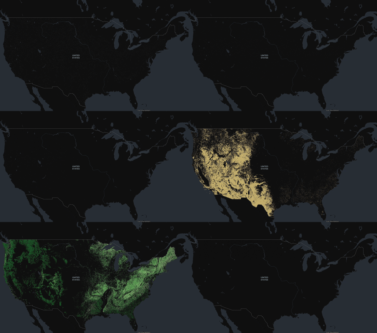
Land Cover
Visualize a 1.3 GB USGS annual land cover dataset using COGLayer with a categorical colormap.
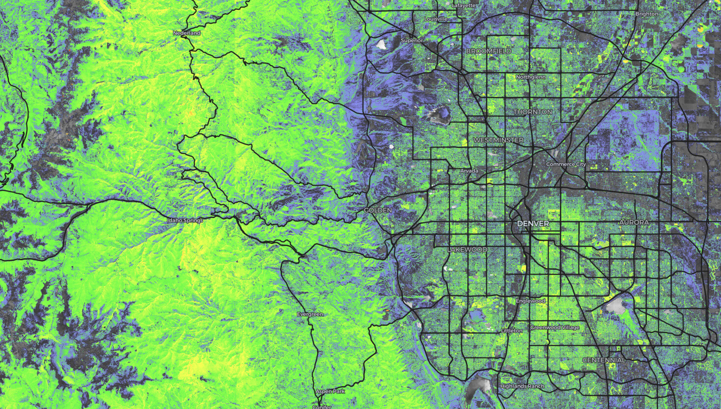
NAIP Mosaic
Stream a client-side mosaic of NAIP aerial imagery COGs using MosaicLayer, sourced from Microsoft Planetary Computer.
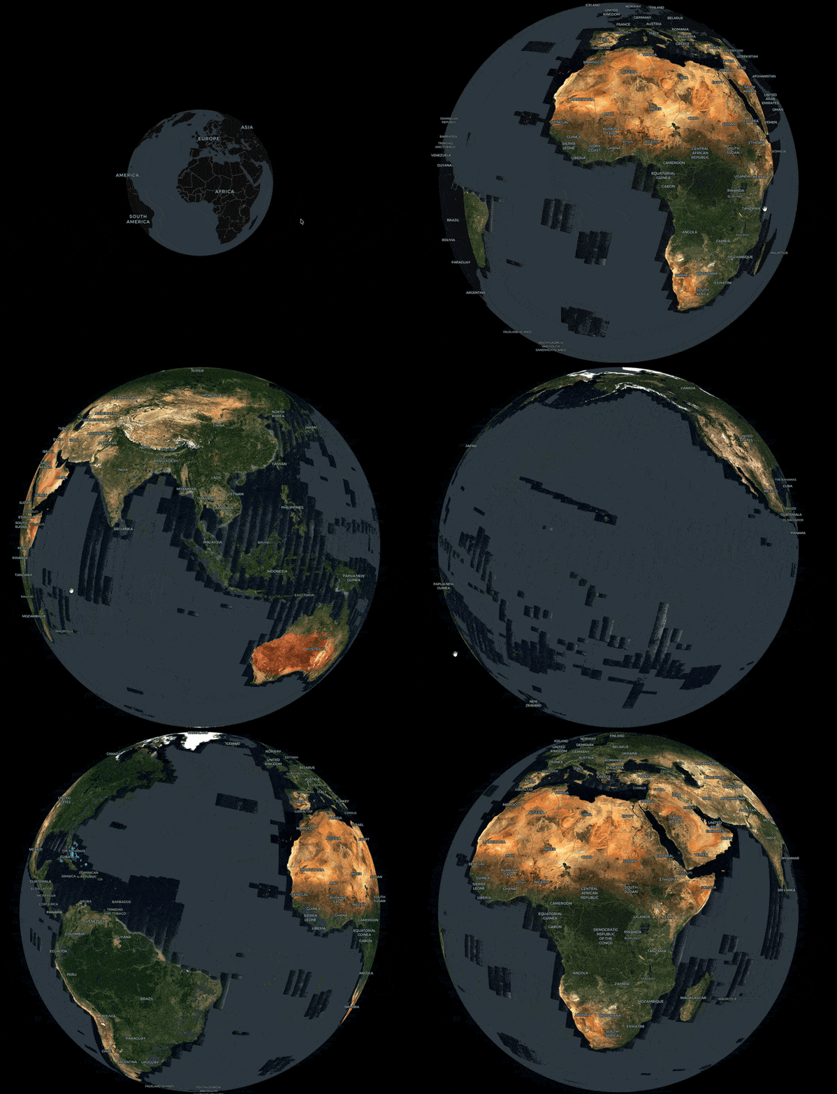
Globe View
Render Cloud-Optimized GeoTIFFs on a 3D globe using COGLayer with MapLibre's globe projection.
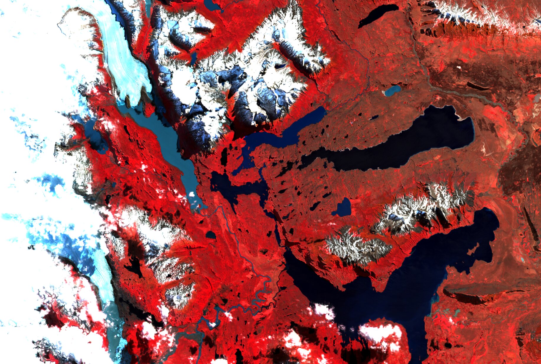
Sentinel-2 Multi-Band
Render split-band, mixed-resolution COGs using MultiCOGLayer. The GPU handles cross-resolution resampling.
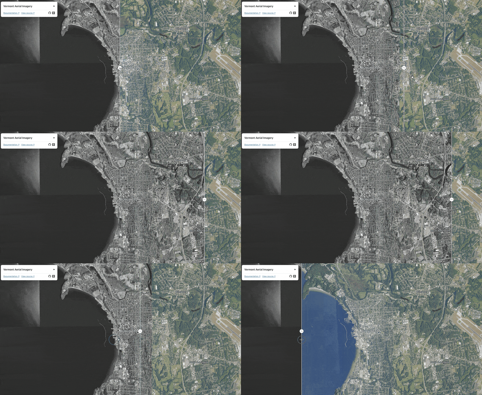
Before/After Comparison
Use a slider to compare Vermont state imagery over time.
Zarr Examples
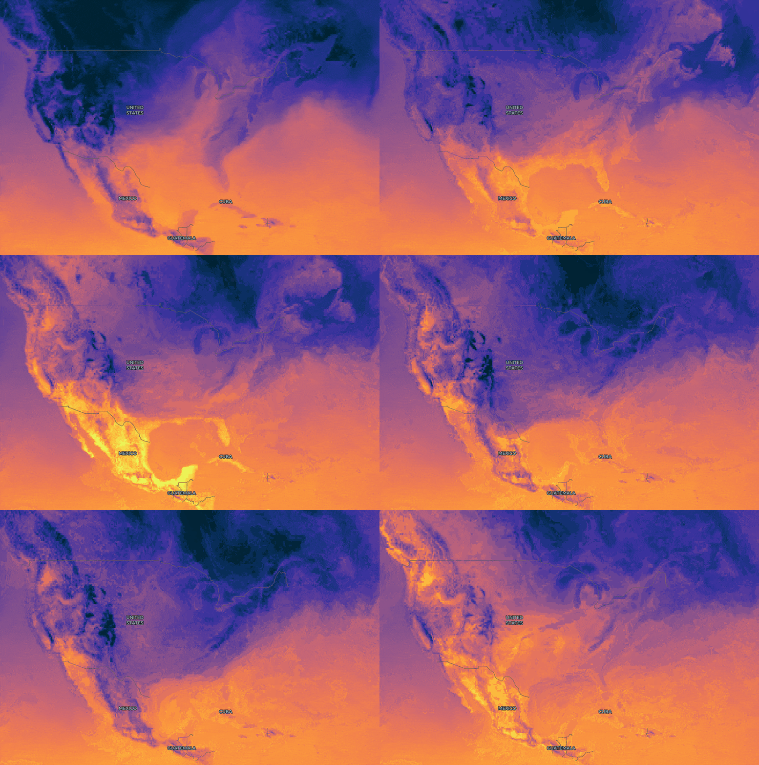
ECMWF Temperature Forecast
Use the ZarrLayer to animate over 4-dimensional numerical data.
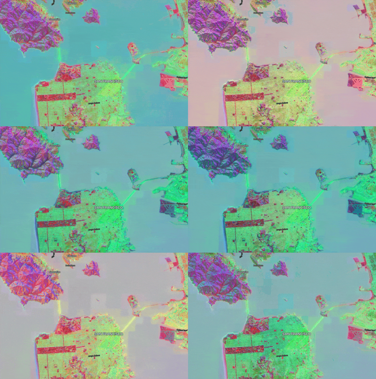
AEF Mosaic Embeddings
Use the ZarrLayer to visualize embeddings data.
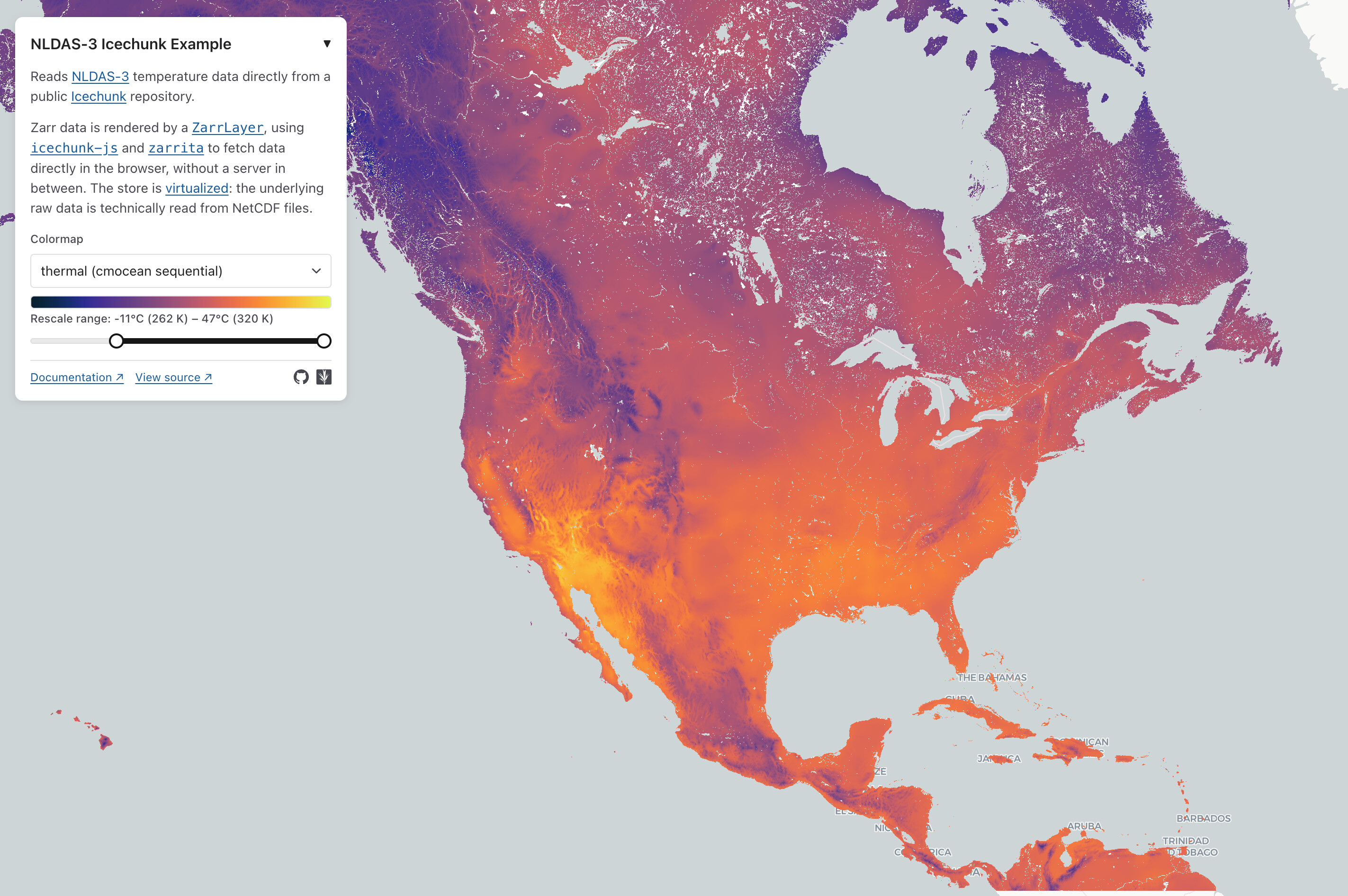
NLDAS Icechunk
Use the ZarrLayer to read from an Icechunk repository.
The store is virtualized, so tile requests read directly from source NetCDF files.
Experimental Examples
These demonstrate what deck.gl-raster makes possible, but their architecture has not been reviewed and endorsed. Treat them as demonstrations rather than patterns to copy.
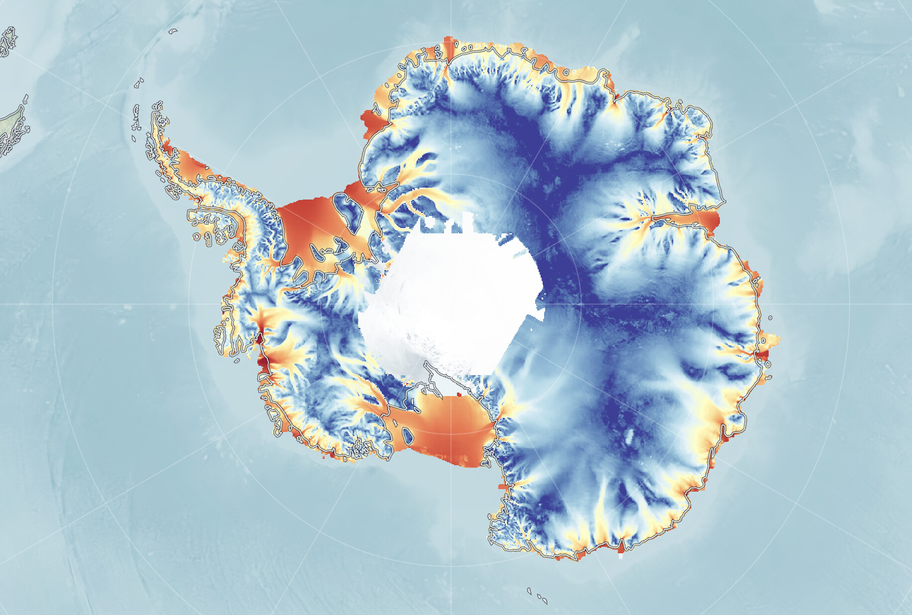
Custom Projections
Render COGs in polar stereographic, Equal Earth, and other map projections. A preview of deck.gl v10's custom projection support.
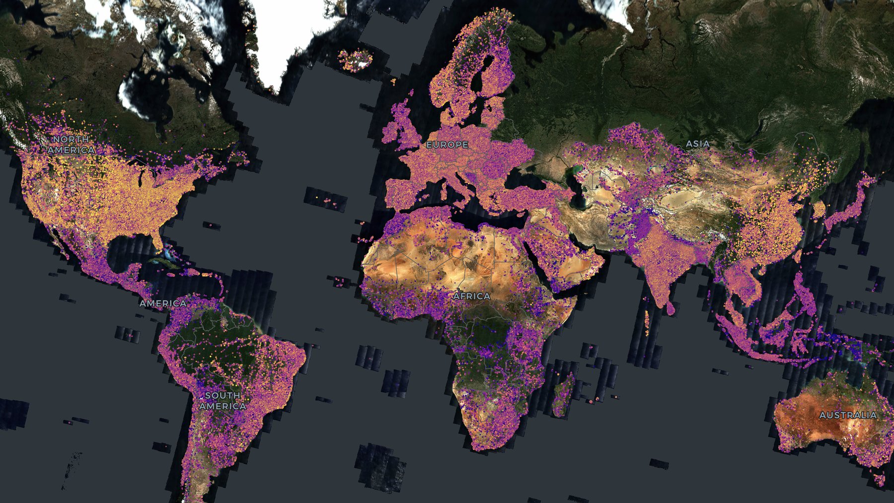
GeoArrow Overlay
3.4 million GeoArrow points, streamed from Parquet with parquet-wasm, over a global imagery COG.
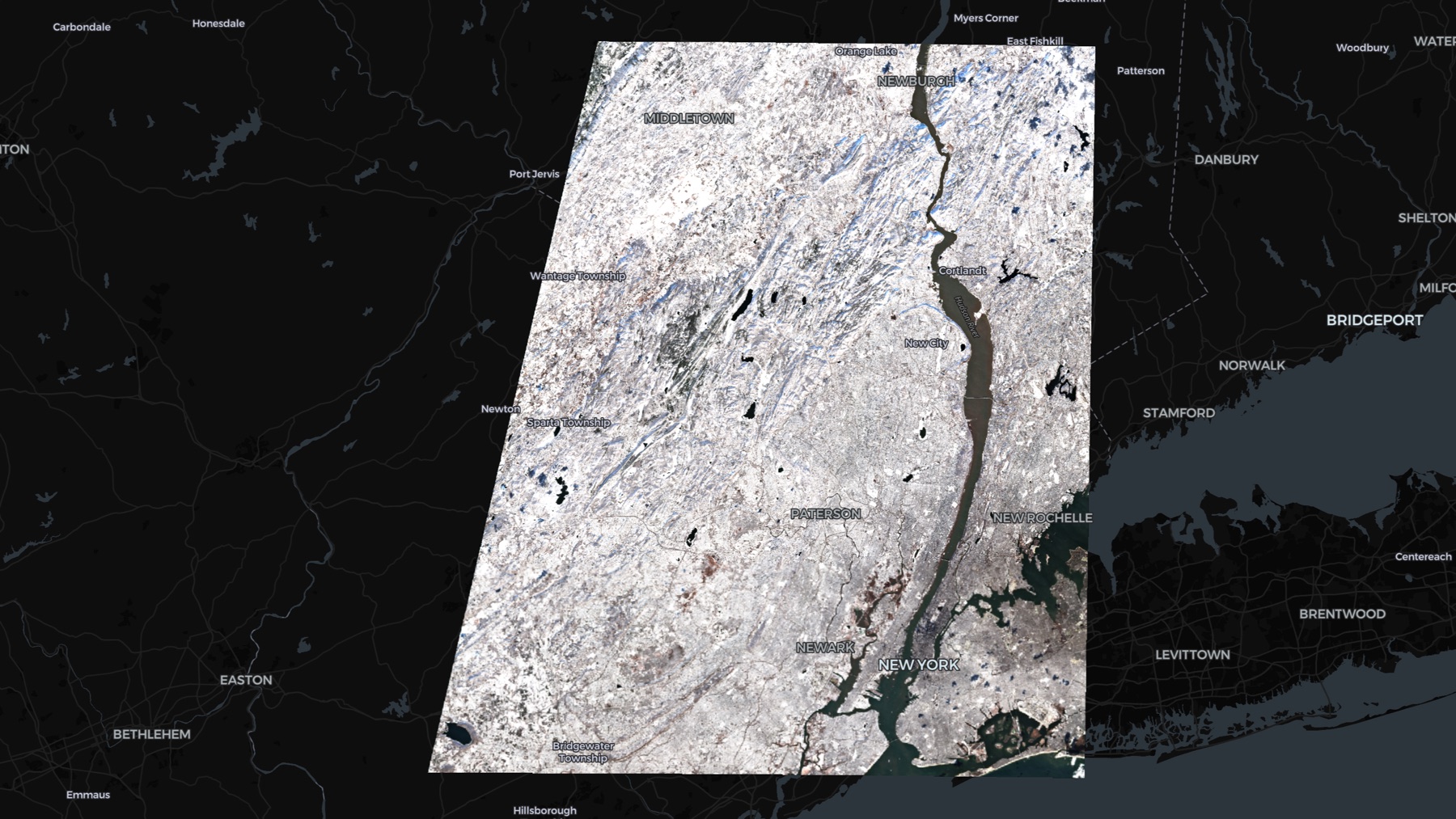
Titiler Tiles
Render NumPy array tiles from a titiler server with RasterTileLayer.
Explainers
Animated explanations of how deck.gl-raster works under the hood.
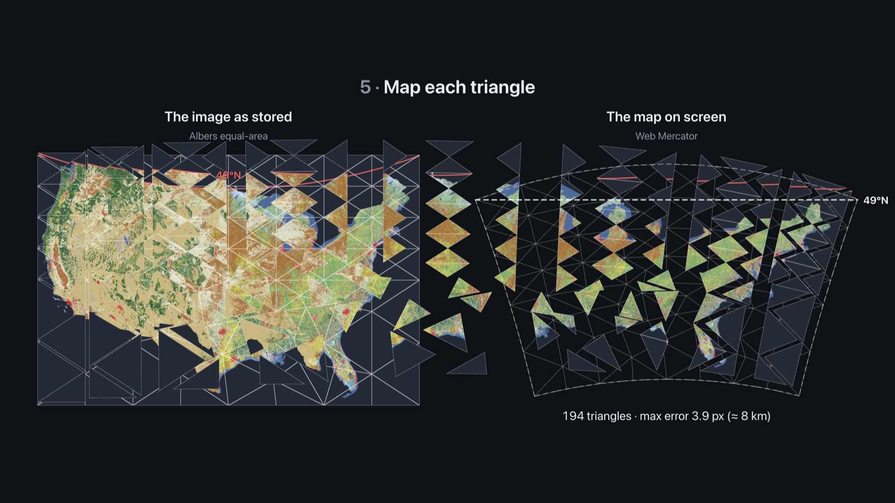
Reprojection Explainer
A step-by-step animation of how deck.gl-raster reprojects a raster on the GPU: cutting it into triangles, refining them where the distortion is largest, and stretching the image inside each one.