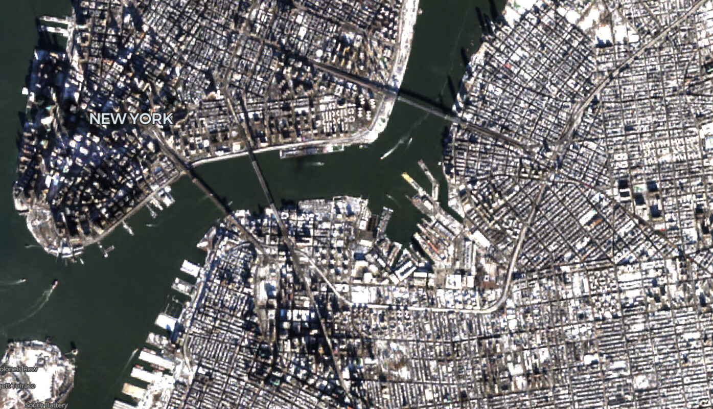
Cloud-Optimized Formats
Stream Cloud-Optimized GeoTIFFs and Zarr arrays directly from object storage — no tiling server required.
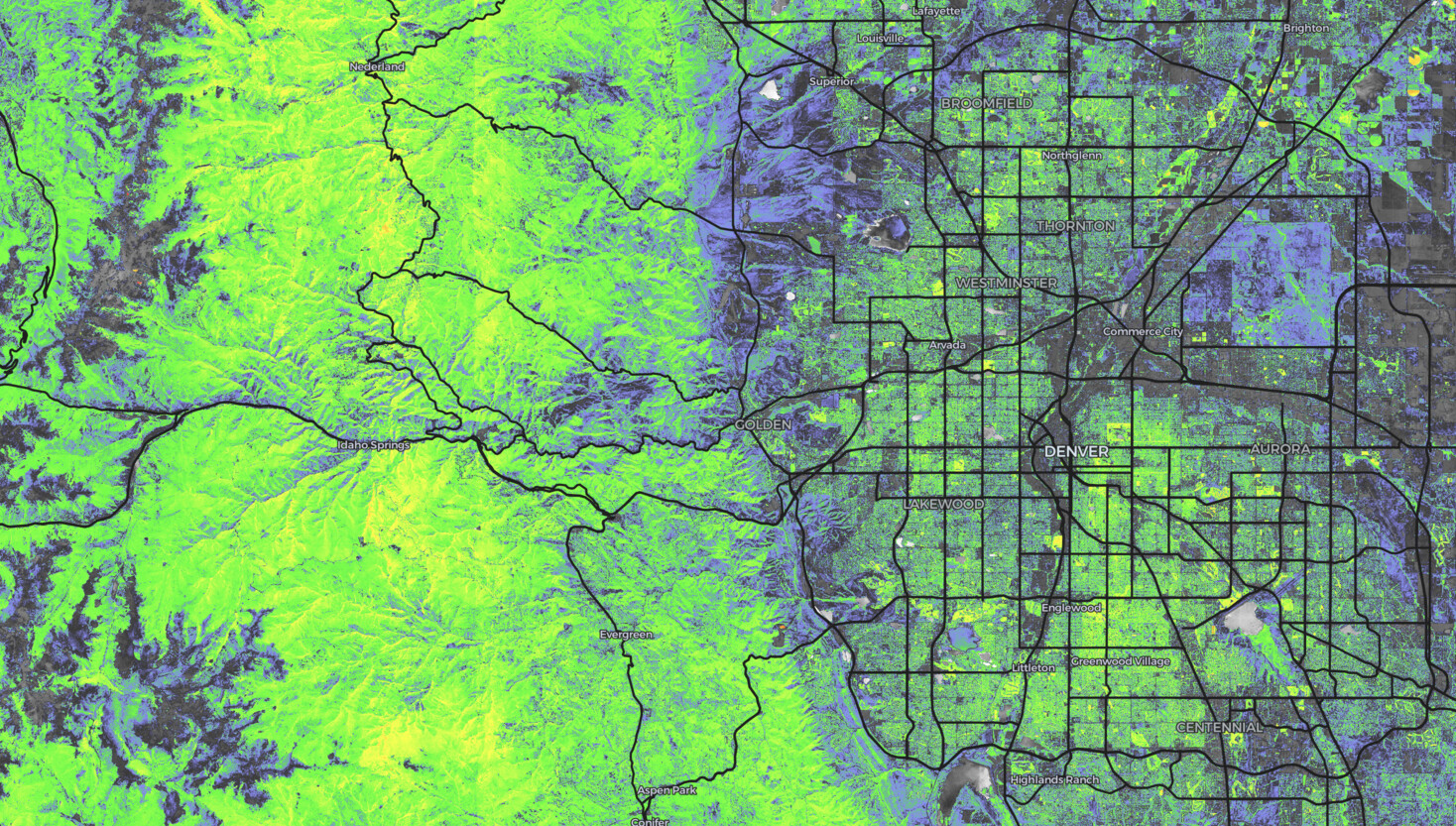
Flexible Visualization Pipeline
Compose raster modules for band math, nodata masking, and color mapping. Use provided modules for common scientific visualization patterns or write your own custom shader code for maximum flexibility.